- Population
- 51,240
- 51.2K
- Elevation
- 8 m
- above sea level
- Local time
- UTC+00:00
- Europe/London · UTC+00:00
- Airports
- LCY London City Airport13 km
- SEN London Southend Airport36 km
About Dartford
Dartford is a town. Location: Dartford District, Kent. Population: 51,240. Elevation: 8 m.
Dartford is the principal town in the Borough of Dartford, Kent, England. It is located 18 mi (29 km) south-east of Central London and is situated adjacent to the London Borough of Bexley to its west. To its north, across the Thames Estuary, is Thurrock in Essex, which can be reached via the Dartford Crossing. To its east lies the Borough of Gravesham and to the south the district of Sevenoaks. It had a population of 54,161 in 2021.
Source: Wikipedia · CC BY-SA 4.0
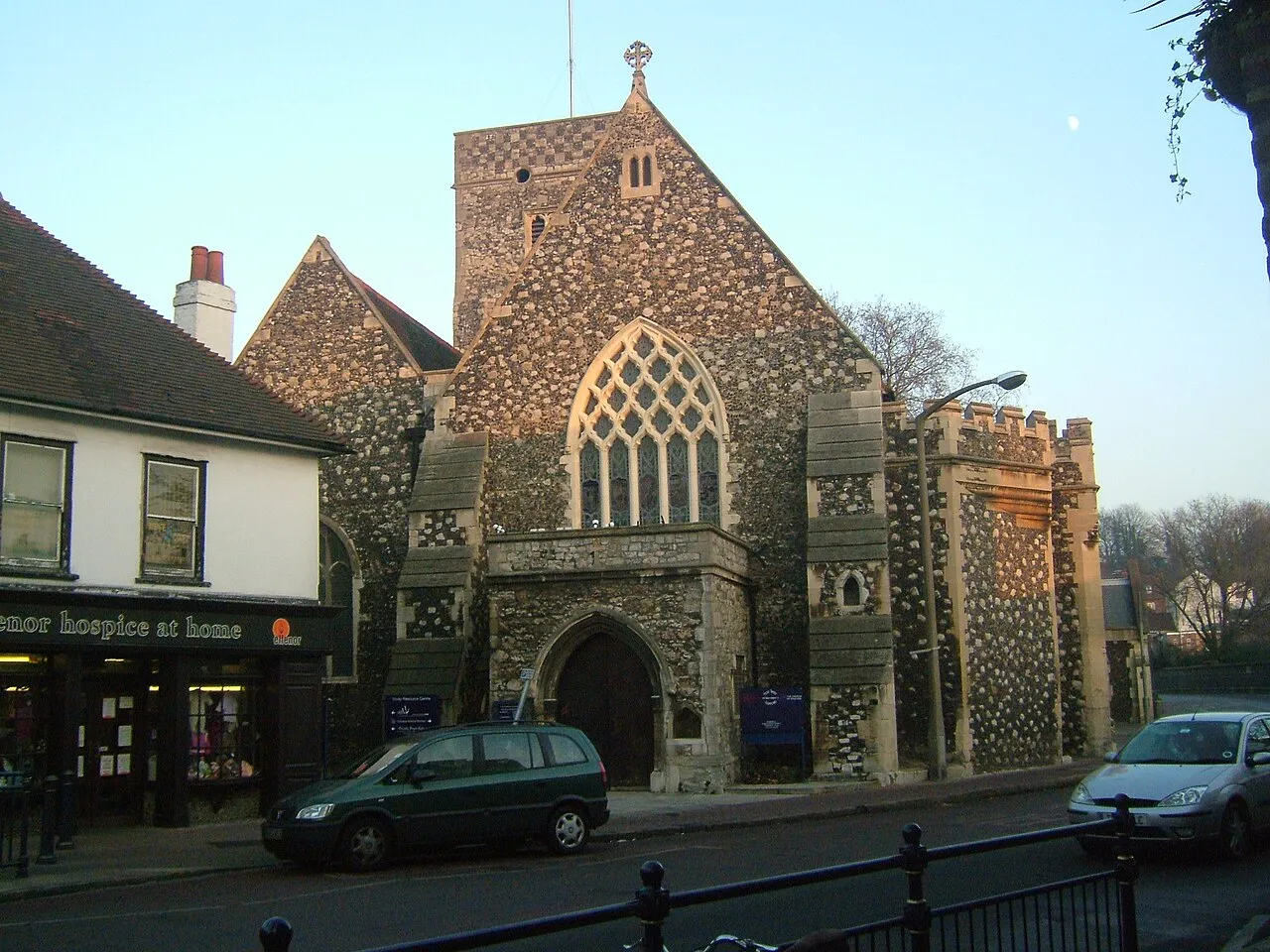
Photos of Dartford
-

The Conservative Party · CC BY 2.0 -
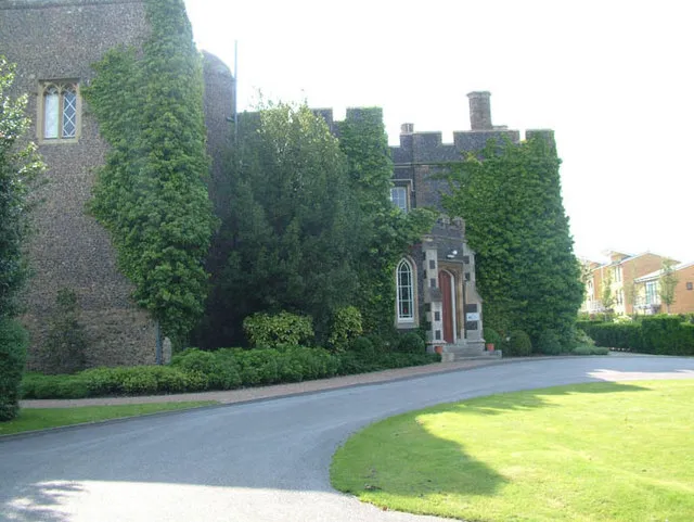
Stone Castle Ken Brown · CC BY-SA 2.0 -
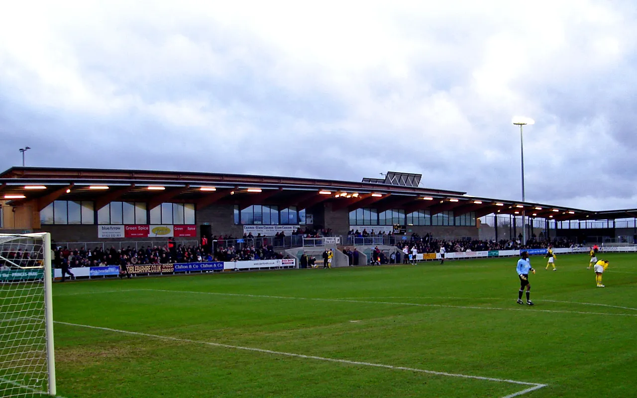
Princes Park Steveboswell at English Wikipedia · CC BY-SA 3.0


Travel notes for Dartford
From Wikivoyage
Dartford is a commuter town for Greater London in Kent, with a long history of religious, industrial and cultural importance town.
Get in+
By car:
From London, take the A2 arterial road from either London or the M25 Orbital motorway.
From Canterbury, take the M2 and the A2
The Dartford tunnel and bridge are toll roads but do not have booths. Payment must be made on the website (car plate is scanned) within a couple of days otherwise you get a large fine.
By train:
Domestic trains are operated by SouthEastern From London St Pancras to Ebbsfleet (typical journey time 15 – 17 minutes).
1 Dartford railway station. (updated Aug 2024)
Source: Wikivoyage · CC BY-SA 4.0 · abridged
Twin towns and sister cities of Dartford
- Tallinn· Estonia
Source: Wikidata. Only places with a page on this site are shown.
Climate of Dartford
Best months for sightseeingBest months for sightseeing: June–August.
This month · November
A cold month
Day 11° · Night 4° · Rain 67 mm
- Hottest month
- July (day 22°)
- Coldest month
- February (night 2°)
- Wettest month
- January (68 mm)
- Driest month
- February (42 mm)
Bars: average monthly low and high temperature. Below: precipitation. Monthly averages for 1970–2000 at about 18 km resolution, adjusted for elevation. Highlighted months are mild and relatively dry. Source: WorldClim 2.1 (CC BY 4.0).
Show values as a table
| Month | Jan | Feb | Mar | Apr | May | Jun | Jul | Aug | Sep | Oct | Nov | Dec |
|---|---|---|---|---|---|---|---|---|---|---|---|---|
| Average high (°C) | 7° | 8° | 10° | 13° | 17° | 20° | 22° | 22° | 19° | 15° | 11° | 8° |
| Average low (°C) | 2° | 2° | 3° | 4° | 7° | 10° | 12° | 12° | 10° | 7° | 4° | 3° |
| Precipitation (mm) | 68 | 42 | 49 | 44 | 46 | 52 | 42 | 49 | 59 | 63 | 67 | 64 |
How to get to Dartford
The nearest airport is London City Airport (LCY), 13 km to the northwest as the crow flies. For international flights: London Gatwick Airport (LGW) (43 km). The nearest large city is Bexley, 5 km to the west.
Airports
- London City Airport (LCY) London 13 kmnorthwest
- London Southend Airport (SEN) Southend-on-Sea, Essex 36 kmnortheast
- London Gatwick Airport (LGW) London 43 kmsouthwest
Nearby large cities
- Bexley Population: 228K 5 kmwest
- Dagenham Population: 108.4K 12 kmnorth
- Barking Population: 218.5K 13 kmnorthwest
- Ilford Population: 168.2K 16 kmnorthwest
- Basildon Population: 144.9K 22 kmnortheast
Straight-line distances; road distances are longer. Airport data: OurAirports.
Day trips from Dartford
Within 100 km: 781 historic and cultural sites, 554 natural sites, 304 lakes, rivers and coasts.
0–25 km280 places
- Spotlites @ Kings Theatre Attraction 23 kmE
- St Mary's Island Island 23 kmE
- Hoo Island Island 25 kmE
- Rook Island Island 18 kmNW
25–60 km593 places
- Isle of Sheppey Island 43 kmE
- White Hart Lane Landmark 26 kmNW
- Yantlet beach Beach 32 kmE
- Central Beach Beach 49 kmE
60–100 km766 places
- St Nicholas Church Shoreham Attraction 76 kmSW
- The Marlipins Museum Museum 77 kmSW
- Camber Sands Beach 70 kmSE
- West Mersea Beach Beach 62 kmNE
Straight-line distances.
Dartford and similar cities
Side by side with cities of similar size in the same country: population, elevation and climate.
| Measure | Dartford | Bridgend | Hamilton | Barry |
|---|---|---|---|---|
| Population | 51.2K | 49.6K | 54.5K | 54.7K |
| Elevation | 8 m | 23 m | 68 m | 25 m |
| Summer day (hottest month) | 22° | 21° | 19° | 21° |
| Winter night (coldest month) | 2° | 3° | 1° | 2° |
| Annual rainfall | 645 mm | 1,290 mm | 1,363 mm | 1,019 mm |
| Best months | Jun–Aug | Jun–Aug | Jun–Aug | Jun–Aug |
| Distance | — | 263 km | 557 km | 243 km |
Climate values are 1970–2000 monthly averages; straight-line distance.
Nearby attractions & nature
Everything nearby-
Princes Park Landmark, Dartford District1.6 km SE
-
Central Park Gardens Attraction, Dartford District0.6 km SE
-
Central Park Natural site, Dartford District0.8 km SE
-
Dartford Heath Natural site, Dartford District2.1 km SW
-
Dartford Marshes Mediumwave Transmitter Landmark, Dartford District3.1 km NE
-
Stone Castle Historic site, Stone4.4 km E
-
Row Hill Mountain, Wilmington3.7 km SW
-
St. Mary's Church Attraction, Stone3.7 km E
Sources & licences
Data last updated: · 2 independent sources