Sevenoaks
Located in Kent, England Coordinates: 51°16′17″ N 0°10′57″ E
- Population
- 119,142
- 119.1K
- Elevation
- 124 m
- above sea level
- Local time
- UTC+00:00
- Europe/London · UTC+00:00
- Places inside
- 30
- listed under Sevenoaks
About Sevenoaks
Sevenoaks is a municipality. Location: Kent, England. Population: 119,142. Elevation: 124 m.
In comparison
- No. 8 of 17 places in Kent by population
- Nearest larger town: Tonbridge and Malling District, 13 km E
- 18 sights and natural places within 10 km Bayley's Hill, River Hill
- Listed here: Village: 30
Places in Sevenoaks
30 places-
Ash-cum-Ridley Village
-
Brasted Village
-
Chevening Village
-
Chiddingstone Village
-
Cowden Village
-
Crockenhill Village
-
Dunton Green Village
-
Edenbridge Village
-
Eynsford Village
-
Farningham Village
-
Fawkham Village
-
Halstead Village
-
Hartley Village
-
Hever Village
-
Hextable Village
-
Horton Kirby and South Darenth Village
-
Kemsing Village
-
Knockholt Village
-
Leigh Village
-
Otford Village
-
Penshurst Village
-
Riverhead Village
-
Seal Village
-
Sevenoaks Village
-
Sevenoaks Weald Village
-
Shoreham Village
-
Sundridge with Ide Hill Village
-
Swanley Village
-
Westerham Village
-
West Kingsdown Village
Nearby attractions & nature
Everything nearby-
Raspberry Hall Park Natural site, Kent6.8 km N
-
Ightham Court Historic site, Ightham7.8 km E
-
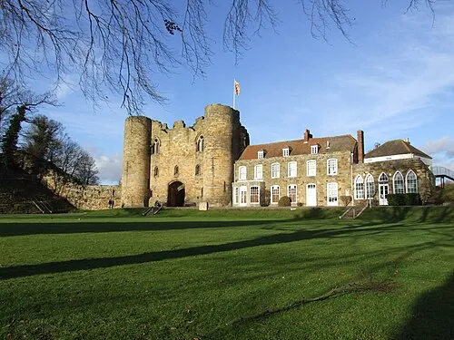 Tonbridge Castle Historic site, Tonbridge and Malling District11 km SE
-
Wrotham Hill Mountain, Wrotham8.8 km NE
-
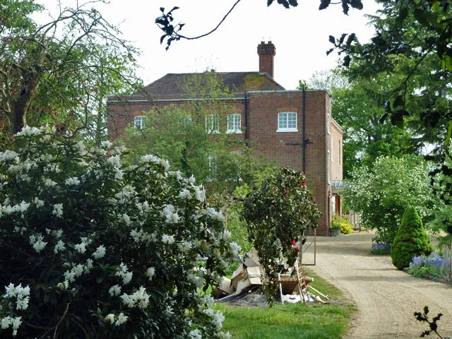 Starborough Castle Historic site, Dormansland14 km SW
-
Wrotham Transmitting Station Landmark, Wrotham9.2 km NE
-
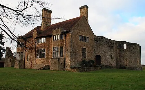 Leybourne Castle Historic site, Leybourne17 km E
-
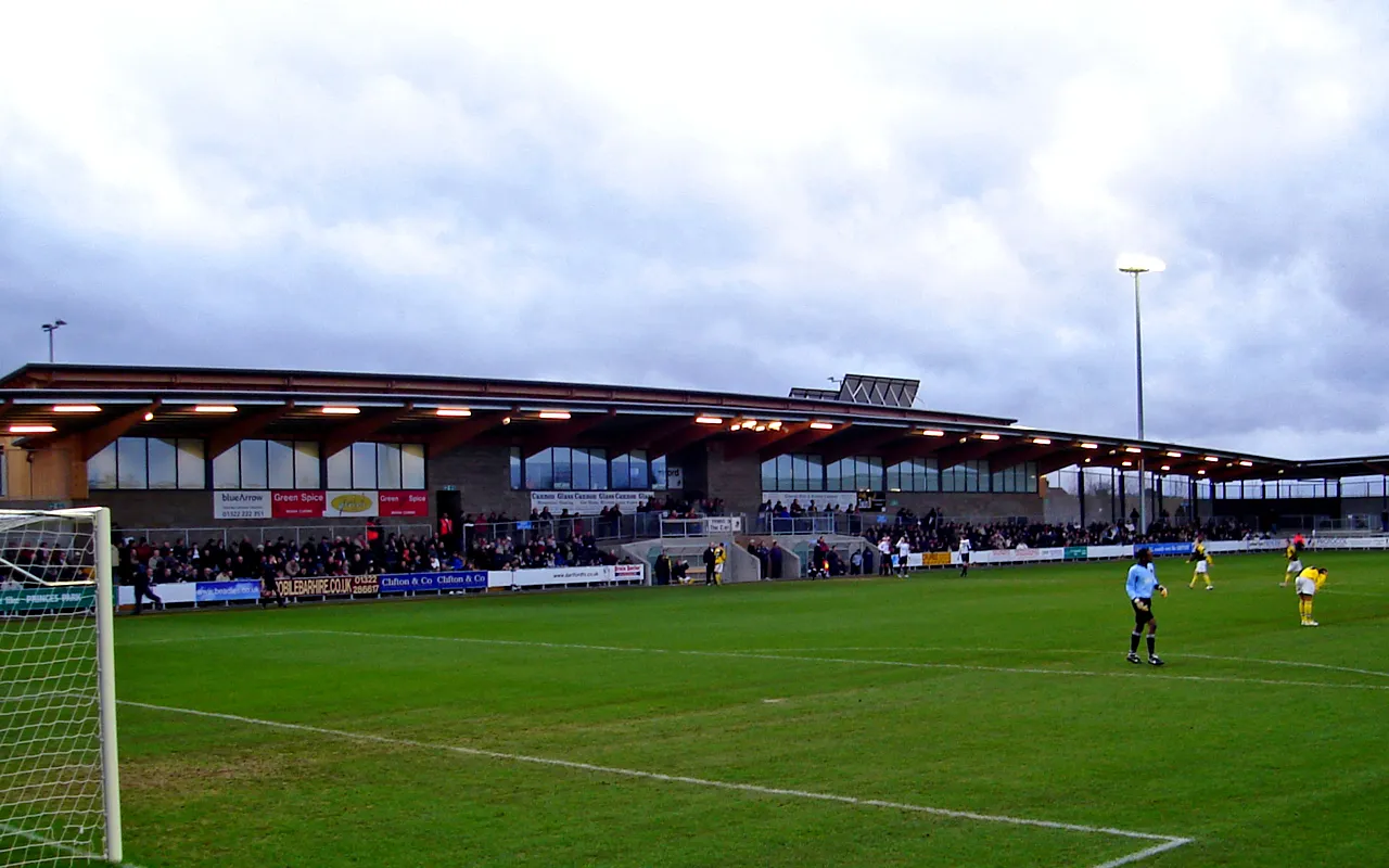 Princes Park Landmark, Dartford District19 km N
Other cities and towns in Kent
-
Sevenoaks Town, Sevenoaks0.5 km E
-
Tonbridge and Malling District Municipality, Kent13 km E
-
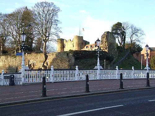 Tonbridge Town, Tonbridge and Malling District11 km SE
-
Dartford District Municipality, Kent19 km N
-
Otford Town, Otford4.7 km N
-
Borough of Tonbridge and Malling Municipality, Kent16 km E
Sources & licences
Data last updated: