Starborough Castle
Located in Dormansland, Tandridge District Coordinates: 51°10′39″ N 0°02′18″ E
- Local time
- UTC+00:00
- Europe/London · UTC+00:00
- Elevation
- 52 m
- above sea level
- Airports
- LGW London Gatwick Airport16 km
- LCY London City Airport36 km
About Starborough Castle
Starborough Castle is a historic site. Location: Dormansland, Tandridge District.
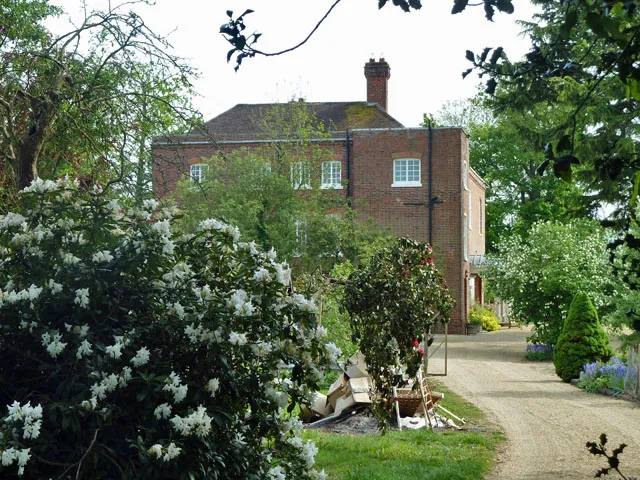
Starborough Castle, known historically as Sterborough Castle, is a Neo-Gothic garden house of dressed sandstone near the eastern boundary of Surrey, built in 1754 by Sir James Burrow. It occupies the north-eastern portion of an artificial island south of the River Eden, roughly 3 km (2 mi) to the south-west of Edenbridge. It is a Grade II* listed building and scheduled monument, and was built on the site of the first castle, a medieval fortified house built c. 1341.
Source: Wikipedia · CC BY-SA 4.0
At a glance
- Built
- 1341
- Heritage designation
- scheduled monument, Grade II* listed building
Source: Wikidata
Photos of Starborough Castle
-
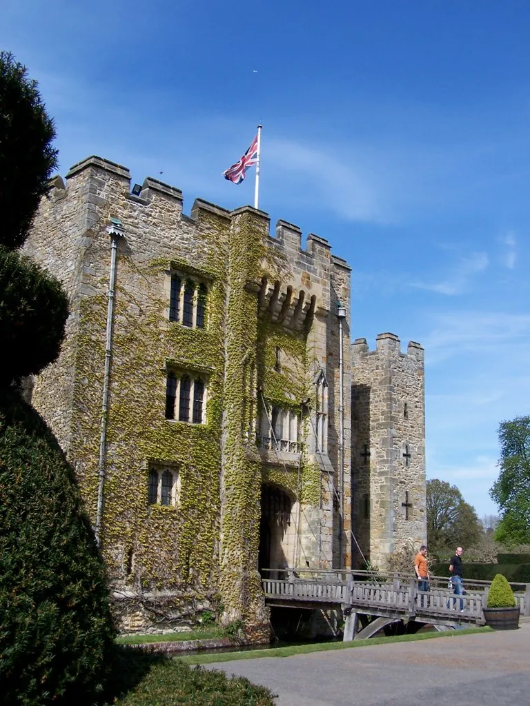
Hever Castle Nigel Lamb · CC BY 2.0

Climate of Starborough Castle
Best months for sightseeingBest months for sightseeing: June–August.
This month · November
A cold month
Day 10° · Night 4° · Rain 80 mm
- Hottest month
- July (day 22°)
- Coldest month
- February (night 1°)
- Wettest month
- January (82 mm)
- Driest month
- July (45 mm)
Bars: average monthly low and high temperature. Below: precipitation. Monthly averages for 1970–2000 at about 18 km resolution, adjusted for elevation. Highlighted months are mild and relatively dry. Source: WorldClim 2.1 (CC BY 4.0).
Show values as a table
| Month | Jan | Feb | Mar | Apr | May | Jun | Jul | Aug | Sep | Oct | Nov | Dec |
|---|---|---|---|---|---|---|---|---|---|---|---|---|
| Average high (°C) | 7° | 7° | 10° | 12° | 16° | 19° | 22° | 22° | 19° | 15° | 10° | 8° |
| Average low (°C) | 2° | 1° | 3° | 4° | 7° | 10° | 12° | 12° | 10° | 7° | 4° | 3° |
| Precipitation (mm) | 82 | 52 | 59 | 50 | 51 | 57 | 45 | 53 | 66 | 76 | 80 | 79 |
How to get to Starborough Castle
The nearest airport is London Gatwick Airport (LGW), 16 km to the west as the crow flies. The nearest large city is Crawley, 17 km to the southwest.
Airports
- London Gatwick Airport (LGW) London 16 kmwest
- London City Airport (LCY) London 36 kmnorth
- London Heathrow Airport (LHR) London 48 kmnorthwest
Nearby large cities
- Crawley Population: 124K 17 kmsouthwest
- Croydon Population: 173.3K 25 kmnorthwest
- Sutton Population: 187.6K 25 kmnorthwest
- Bexley Population: 228K 30 kmnorth
- Maidstone Population: 107.6K 35 kmeast
Straight-line distances; road distances are longer. Airport data: OurAirports.
Day trips from Starborough Castle
Within 100 km: 722 historic and cultural sites, 553 natural sites, 287 lakes, rivers and coasts.
0–25 km101 places
- Osprey Island Island 22 kmE
- Tinker's Island Island 16 kmE
- Hawk Island Island 21 kmS
- Sixteen Acre Island Island 6 kmE
25–60 km836 places
- White Hart Lane Landmark 48 kmN
- Spotlites @ Kings Theatre Attraction 41 kmNE
- St Nicholas Church Shoreham Attraction 44 kmSW
- The Marlipins Museum Museum 44 kmSW
60–100 km625 places
- Portsea Island Natural site 88 kmSW
- Isle of Sheppey Island 61 kmNE
- West Mersea Beach Beach 91 kmNE
- Central Beach Beach 66 kmE
Straight-line distances.
Nearby attractions & nature
Everything nearby-
Hever Castle Historic site, Hever5.4 km E
-
Dry Hill Mountain, Dormansland2.5 km S
-
Markbeech Hill Mountain, Hever5.3 km E
-
Kidbrooke Park Historic site, Forest Row9.9 km S
-
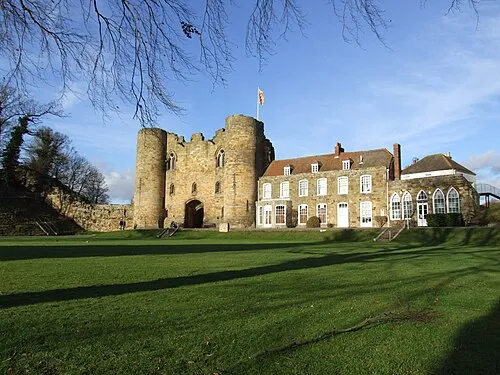 Tonbridge Castle Historic site, Tonbridge and Malling District17 km E
-
Godstone Castle Hill Historic site, Godstone9.2 km NW
-
Hartfield Motte Historic site, Hartfield9.7 km SE
-
Two Bridges Island Island, Hever5.5 km E
Nearest towns and villages
-
Dormansland Village, Dormansland3 km SW
-
Edenbridge Town, Edenbridge2.6 km NE
-
 Marsh Green Village, Edenbridge1.2 km E
-
Lingfield Village, Lingfield3.8 km W
Sources & licences
Data last updated: · 2 independent sources