Sittingbourne
Located in Swale District, Kent Coordinates: 51°20′29″ N 0°43′58″ E
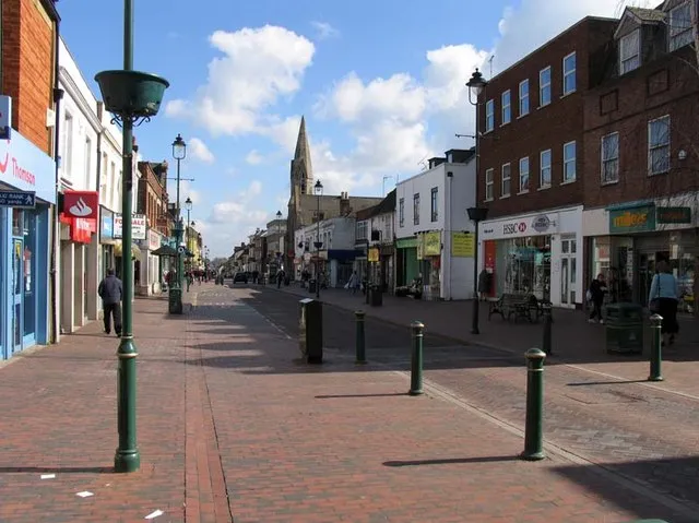
- Population
- 54,392
- 54.4K
- Elevation
- 16 m
- above sea level
- Local time
- UTC+00:00
- Europe/London · UTC+00:00
About Sittingbourne
Sittingbourne is a town. Location: Swale District, Kent. Population: 54,392. Elevation: 16 m.
Sittingbourne is an industrial town in the Swale district of Kent, southeast England, 17 miles (27 km) from Canterbury and 45 miles (72 km) from London, beside the Roman Watling Street, an ancient trackway used by the Romans and the Anglo-Saxons. In 2021 it had a population of 54,392. The town stands next to the Swale, a strip of sea separating mainland Kent from the Isle of Sheppey.
Read more on Wikipedia Text: Wikipedia contributors · CC BY-SA 4.0 · shortened
In comparison
- Nearest larger town: Borough of Swale, 0 km E
- 13 sights and natural places within 10 km Bayford Court, Castle Rough
Climate of Sittingbourne
Best months for sightseeing: June–September.
| Month | Jan | Feb | Mar | Apr | May | Jun | Jul | Aug | Sep | Oct | Nov | Dec |
|---|---|---|---|---|---|---|---|---|---|---|---|---|
| Average high (°C) | 7° | 8° | 10° | 12° | 16° | 19° | 22° | 22° | 19° | 15° | 10° | 8° |
| Average low (°C) | 2° | 2° | 3° | 4° | 7° | 10° | 13° | 13° | 11° | 8° | 4° | 3° |
| Precipitation (mm) | 53 | 33 | 41 | 37 | 38 | 50 | 40 | 47 | 52 | 59 | 60 | 55 |
Monthly averages for 1970–2000 at about 18 km resolution, adjusted for elevation. Highlighted months are mild and relatively dry. Source: WorldClim 2.1 (CC BY 4.0).
Other places to visit in this season: June · July · August · September
Airports nearest to Sittingbourne
- London Southend Airport (SEN) Southend-on-Sea, Essex 26 km
- London City Airport (LCY) London 51 km
- London Gatwick Airport (LGW) London 68 km
Straight-line distance; airports with scheduled flights only. Source: OurAirports (public domain).
Nearby attractions & nature
Everything nearby-
Bayford Court Historic site, Swale District0.7 km E
-
Castle Rough Historic site, Swale District2.6 km NE
-
Tonge Castle Historic site, Tonge2.9 km E
-
Elmley Island Island, England6.6 km NE
-
Stockbury Castle Historic site, Stockbury6.2 km W
-
Otterham Creek River, England8.4 km NW
-
Fowley Island Island, Teynham6.8 km E
-
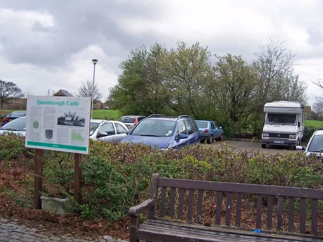 Queenborough Castle Historic site, Queenborough8.4 km N
Other cities and towns in Swale District
Sources & licences
Data last updated: · 2 independent sources