Sheerness
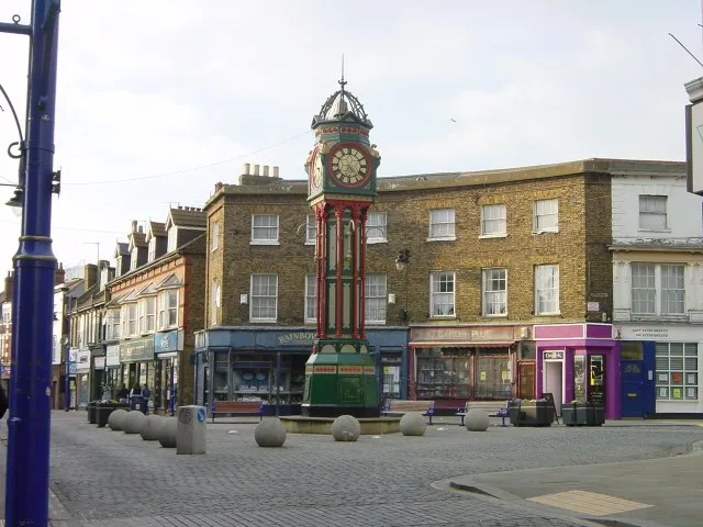
Located in Swale District, Kent Coordinates: 51°26′26″ N 0°45′45″ E
- Population
- 13,249
- 13.2K
- Elevation
- 5 m
- above sea level
- Local time
- UTC+00:00
- Europe/London · UTC+00:00
About Sheerness
Sheerness is a town. Location: Swale District, Kent. Population: 13,249. Elevation: 5 m.
Sheerness () is a port town and civil parish beside the mouth of the River Medway on the north-west corner of the Isle of Sheppey in north Kent, England. With a population of 13,249, it is the second largest town on the island after the nearby town of Minster which has a population of 16,738. Sheerness began as a fort built in the 16th century to protect the River Medway from naval invasion.
Read more on Wikipedia Text: Wikipedia contributors · CC BY-SA 4.0 · shortened
In comparison
- Nearest larger town: Borough of Swale, 11 km S
- 12 sights and natural places within 10 km Holy Trinity Church, River Medway
Nearby attractions & nature
Everything nearby-
Holy Trinity Church Attraction, Swale District0.1 km SE
-
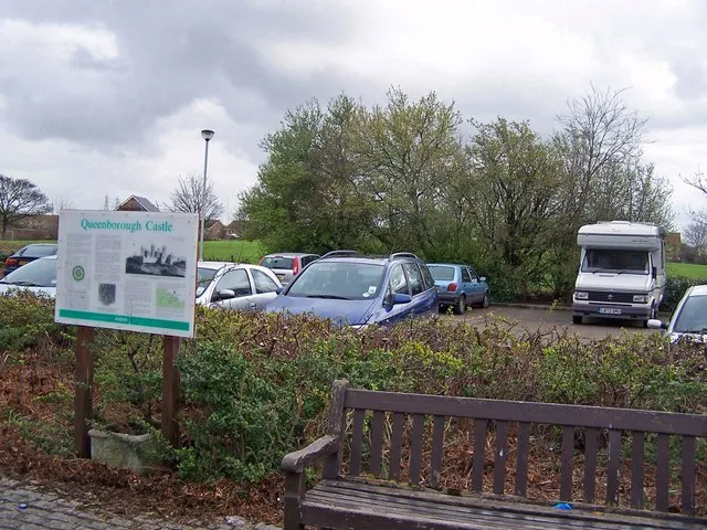 Queenborough Castle Historic site, Queenborough2.9 km S
-
River Medway River, Hoo St. Werburgh2.2 km W
-
Deadmans Island Island, Queenborough3.4 km SW
-
Isle of Grain Island, England4.5 km W
-
The Mount Island, Minster-on-Sea5.6 km SE
-
Elmley Island Island, England6.9 km S
-
Castle Rough Historic site, Swale District8.9 km S
Other cities and towns in Swale District
-
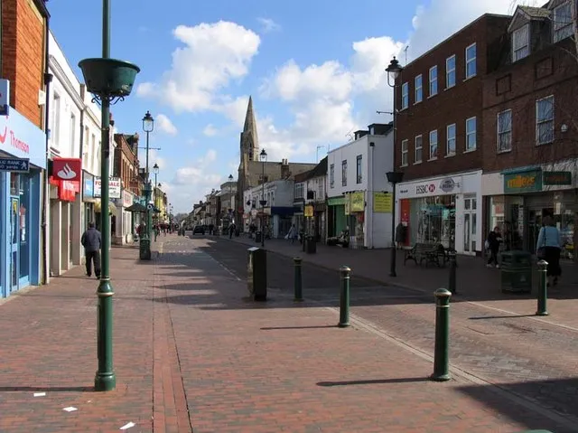 Sittingbourne Town, Swale District11 km S
-
Faversham Town, Faversham17 km SE
Sources & licences
Data last updated: · 2 independent sources