Throwley
Located in Swale District, Kent Coordinates: 51°15′29″ N 0°51′02″ E
- Elevation
- 98 m
- above sea level
- Local time
- UTC+00:00
- Europe/London · UTC+00:00
- Places inside
- 5
- listed under Throwley
About Throwley
Throwley is a village. Location: Swale District, Kent. Elevation: 98 m.
In comparison
- Nearest larger town: Charing, 7 km SW
- 4 sights and natural places within 10 km Selling Perry Wood, The Mount
- Listed here: Village: 5
Places in Throwley
5 places-
Badlesmere Village
-
Throwley Village
-
Throwley Forstal Village
-
Tong Green Village
-
Wilgate Green Village
Nearby attractions & nature
Everything nearby-
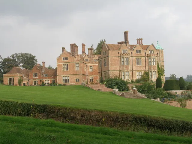 Chilham Castle Historic site, Chilham7.8 km E
-
Selling Perry Wood Historic site, Selling5.2 km E
-
The Mount Mountain, Chilham5.4 km E
-
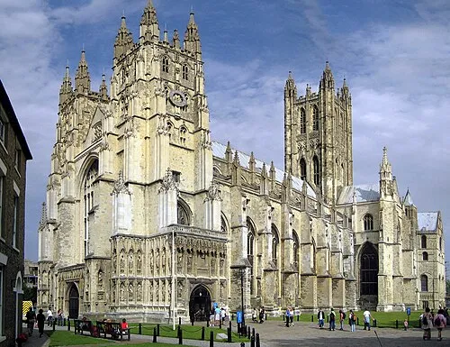 Canterbury Cathedral Attraction, City of Canterbury16 km E
-
Beech Pollard Mountain, Dunkirk7.9 km E
-
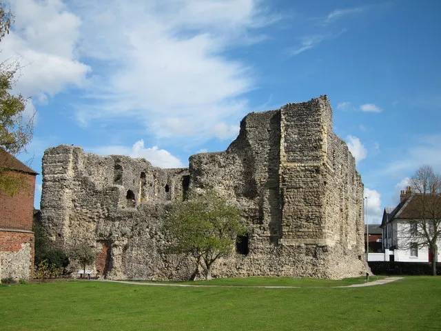 Canterbury Castle Historic site, City of Canterbury16 km E
Sources & licences
Data last updated: