Margate
Located in Thanet District, Kent Coordinates: 51°22′53″ N 1°23′10″ E
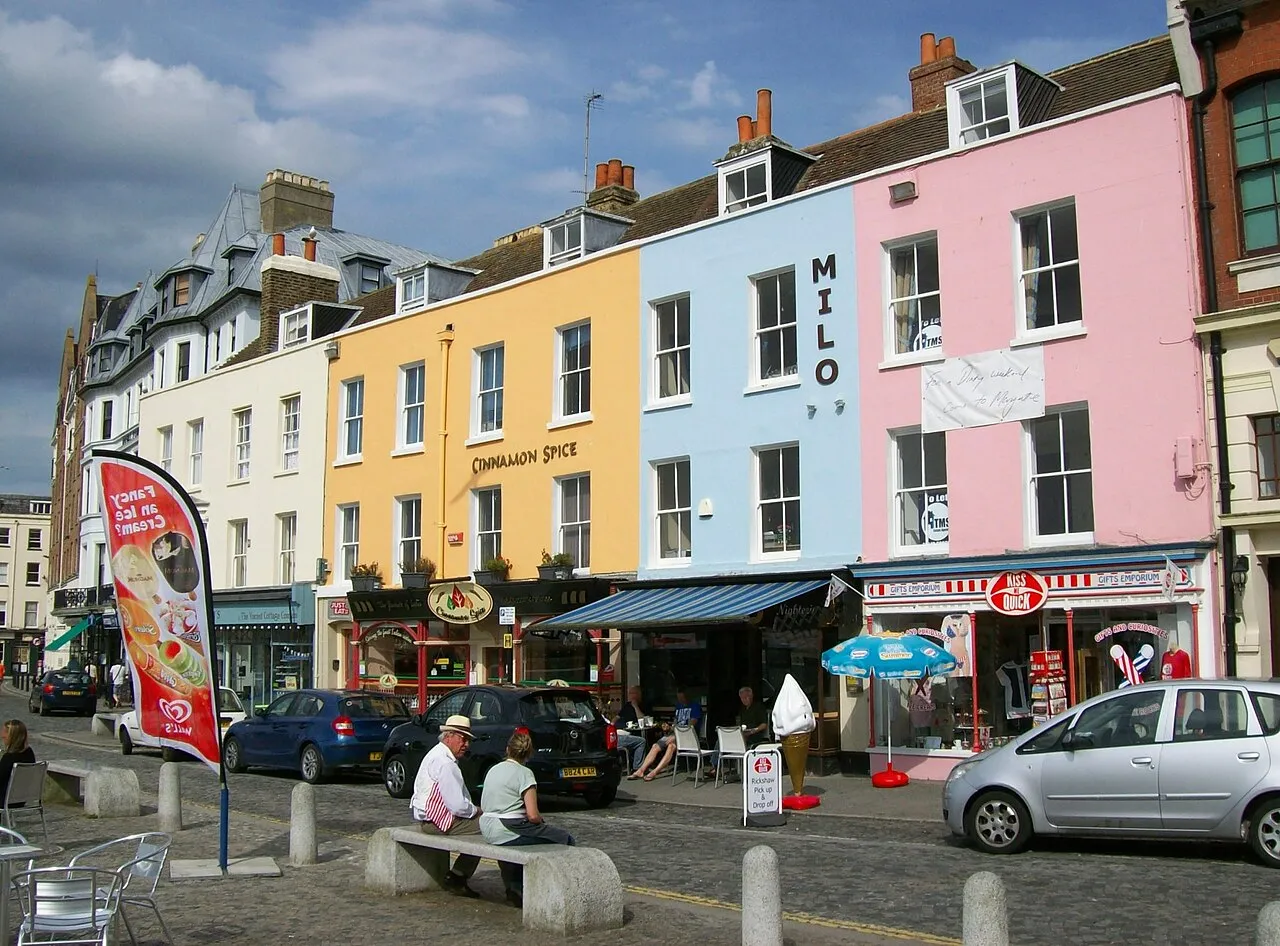
- Population
- 63,322
- 63.3K
- Elevation
- 24 m
- above sea level
- Local time
- UTC+00:00
- Europe/London · UTC+00:00
About Margate
Margate is a town. Location: Thanet District, Kent. Population: 63,322. Elevation: 24 m.
Margate () is a seaside town in the Thanet District of Kent, England. It is located on the north coast of Kent and covers an area of 2 miles (3 kilometres) long, 16 miles (26 kilometres) north-east of Canterbury and includes Cliftonville, Garlinge, Palm Bay and Westbrook. In 2011 it had a population of 61,223. The town has been a significant maritime port since the Middle Ages, and was associated with Dover as part of the Cinque Ports in the 15th century.
Read more on Wikipedia Text: Wikipedia contributors · CC BY-SA 4.0 · shortened
In comparison
- Most populous of 4 places in Thanet District
- Nearest larger town: Saint Peters, 3 km SE
- 16 sights and natural places within 10 km Westbrook Bay, Walpole Bay
Airports nearest to Margate
- London Southend Airport (SEN) Southend-on-Sea, Essex 53 km
- London City Airport (LCY) London 94 km
- London Stansted Airport (STN) London, Essex 97 km
Straight-line distance; airports with scheduled flights only. Source: OurAirports (public domain).
Nearby attractions & nature
Everything nearby-
Westbrook Bay Natural site, Thanet District1.7 km W
-
Walpole Bay Natural site, Thanet District1.8 km NE
-
Neptune's Tower Historic site, Kent3.9 km E
-
Louisa Bay Natural site, Kent4.9 km SE
-
Stone Bay Natural site, Kent4.5 km E
-
RAF Manston History Museum Museum, Minster3.8 km SW
-
Joss Bay Natural site, Thanet District4.3 km E
-
Spitfire & Hurricane Memorial Museum Museum, Minster4.1 km SW
Sources & licences
Data last updated: · 2 independent sources