Thanet District
Located in Kent, England Coordinates: 51°21′00″ N 1°17′00″ E
- Population
- 140,652
- 140.7K
- Elevation
- 36 m
- above sea level
- Local time
- UTC+00:00
- Europe/London · UTC+00:00
- Places inside
- 18
- listed under Thanet District
About Thanet District
Thanet District is a municipality. Location: Kent, England. Population: 140,652. Elevation: 36 m.
In comparison
- No. 4 of 17 places in Kent by population
- Nearest larger town: City of Canterbury, 16 km SW
- 12 sights and natural places within 10 km Little Stour, Great Stour
- Listed here: Village: 12, Natural site: 3, Town: 2, Neighbourhood: 1
Places in Thanet District
18 places-
Margate Town63.3K
-
Cliftonville Village12.9K
-
Westgate on Sea Town6.6K
-
Acol Village315
-
Birchington Village
-
Broadstairs and St. Peters Village
-
Cliffsend Village
-
Garlinge Village
-
Joss Bay Natural site
-
Manston Village
-
Minster Village
-
Monkton Village
-
Northdown Neighbourhood
-
Ramsgate Village
-
Sarre Village
-
St. Nicholas At Wade Village
-
Walpole Bay Natural site
-
Westbrook Bay Natural site
Nearby attractions & nature
Everything nearby-
Little Stour River, England2.3 km W
-
Great Stour River, England2.3 km W
-
River Wantsum River, England4.4 km NW
-
Beltinge Bay Natural site, Kent9.4 km W
-
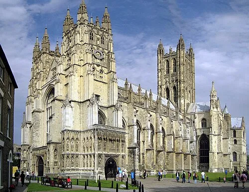 Canterbury Cathedral Attraction, City of Canterbury16 km SW
-
Louisa Bay Natural site, Kent11 km E
-
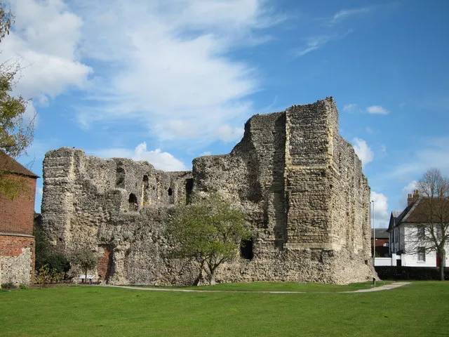 Canterbury Castle Historic site, City of Canterbury17 km SW
-
River Stour River, England8 km SE
Other cities and towns in Kent
-
City of Canterbury Municipality, Kent16 km SW
-
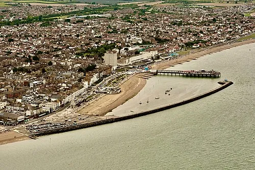 Herne Bay Town, City of Canterbury11 km W
-
Birchington Town, Birchington3.2 km NE
-
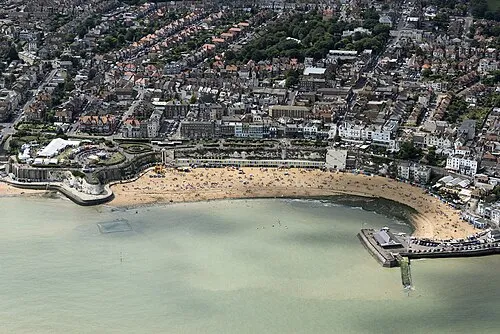 Broadstairs Town, Broadstairs and St. Peters11 km E
-
 Canterbury Town, City of Canterbury16 km SW
-
Dover District Municipality, Kent23 km S
Sources & licences
Data last updated: