Bramhope
Located in Leeds, England Coordinates: 53°53′04″ N 1°37′22″ W
- Elevation
- 182 m
- above sea level
- Local time
- UTC+00:00
- Europe/London · UTC+00:00
- Places inside
- 2
- listed under Bramhope
About Bramhope
Bramhope is a municipality. Location: Leeds, England. Elevation: 182 m.
In comparison
- Nearest larger town: Bramhope, 0 km E
- 28 sights and natural places within 10 km River Washburn, Tinshill Moor
- Listed here: Village: 2
Places in Bramhope
2 places-
Bramhope Village3.4K
-
Old Bramhope Village
Nearby attractions & nature
Everything nearby-
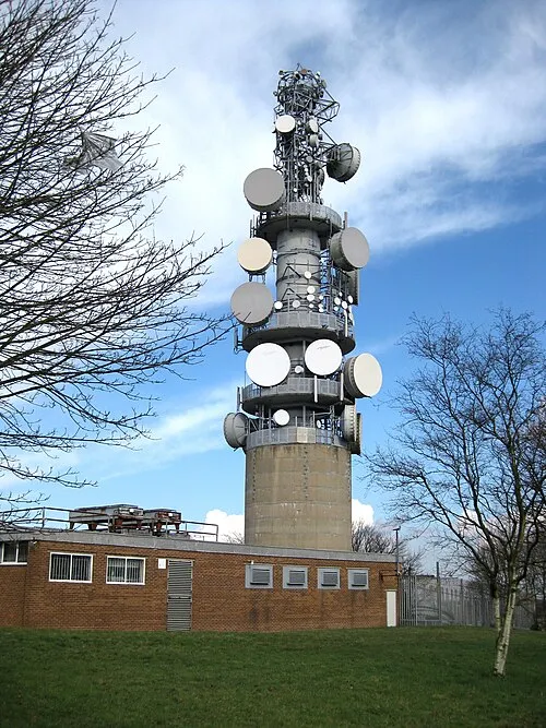 Tinshill BT Tower Landmark, Leeds3.4 km S
-
Tinshill Moor Mountain, Leeds3.3 km S
-
River Washburn River, England2.5 km NW
-
Billing Hill Mountain, Leeds4.6 km SW
-
Spring Wood Natural site, Leeds4.7 km S
-
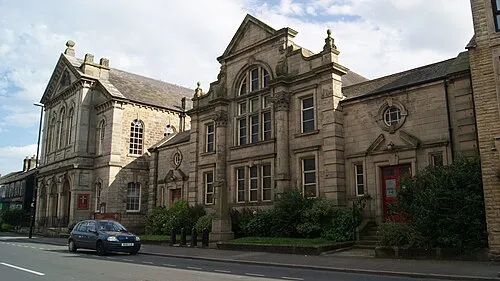 Otley Methodist Church Attraction, Otley5 km NW
-
Daffy Wood Natural site, Leeds4.9 km S
-
Clayton Wood Natural site, Leeds4.9 km S
Other cities and towns in Leeds

Sources & licences
Data last updated: · 2 independent sources