Guiseley
Located in Leeds, England Coordinates: 53°52′32″ N 1°42′44″ W
- Population
- 21,000
- 21K
- Elevation
- 140 m
- above sea level
- Local time
- UTC+00:00
- Europe/London · UTC+00:00
About Guiseley
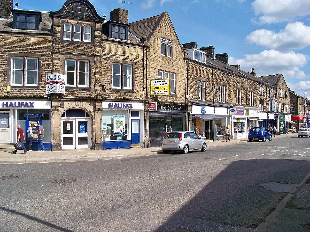
Guiseley is a town. Location: Leeds, England. Population: 21,000. Elevation: 140 m.
Guiseley ( GHYZE-lee) is a small town in the City of Leeds, West Yorkshire, England. Historically part of the West Riding of Yorkshire, it is situated south of Otley and Menston and is now a north-western suburb of Leeds. It sits in the Guiseley and Rawdon ward of Leeds City Council and the Leeds North West parliamentary constituency. At the 2001 census, Guiseley with Rawdon had a population of over 21,000, increasing to 22,347 at the 2011 census.
Read more on Wikipedia Text: Wikipedia contributors · CC BY-SA 4.0 · shortened
In comparison
- No. 7 of 14 places in Leeds by population
- Nearest larger town: Yeadon, 2 km SE
- 30 sights and natural places within 10 km Esholt Arched Railway Bridge, The Chevin
Nearby attractions & nature
Everything nearby-
Billing Hill Mountain, Leeds3.6 km SE
-
Esholt Arched Railway Bridge Landmark, Bradford1.9 km SW
-
Esholt Priory Historic site, Bradford2.5 km S
-
The Chevin Mountain, Otley2.2 km NE
-
Otley All Saints Parish Church Attraction, Otley3.4 km N
-
Beech Hill Church Attraction, Otley3.5 km N
-
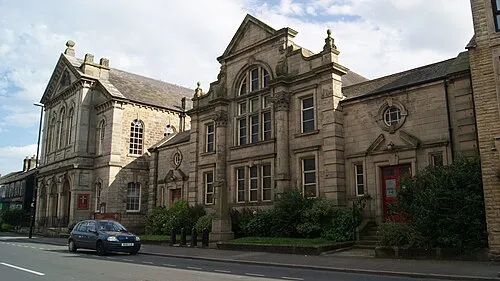 Otley Methodist Church Attraction, Otley3.6 km NE
-
Newall Old Hall Landmark, Otley4.3 km N
Other cities and towns in Leeds

Sources & licences
Data last updated: · 2 independent sources