Mickletown
Located in Leeds, England Coordinates: 53°44′25″ N 1°23′49″ W
- Elevation
- 17 m
- above sea level
- Local time
- UTC+00:00
- Europe/London · UTC+00:00
About Mickletown
Mickletown is a village. Location: Leeds, England. Elevation: 17 m.
Mickletown is a district within the village of Methley, north of Castleford, and south of Leeds, West Yorkshire, England. The Leeds Country Way and the Trans Pennine Trail both pass Mickletown. The 2021 United Kingdom census, recorded Mickletown as having a population of 3,358.
Read more on Wikipedia Text: Wikipedia contributors · CC BY-SA 4.0 · shortened
In comparison
- Nearest larger town: Methley, 1 km S
- 20 sights and natural places within 10 km River Calder, Whitwood Ferry Hill
Nearby attractions & nature
Everything nearby-
Whitwood Ferry Hill Historic site, Wakefield2.4 km S
-
River Calder River, Wakefield2.2 km SE
-
KippaxManor Garth Hill Historic site, Kippax3.6 km NE
-
Garforth Cliff Mountain, Leeds4.9 km N
-
Zion Christian Centre Attraction, Wakefield5.3 km SW
-
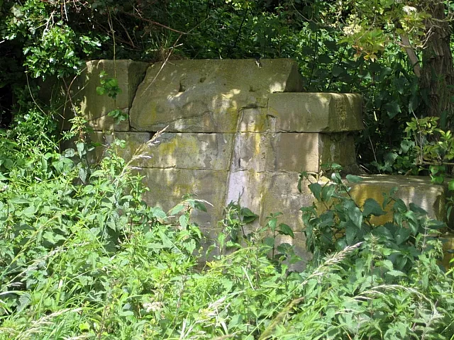 Rothwell Castle Historic site, Leeds5.7 km W
Sources & licences
Data last updated: · 2 independent sources