Rothwell
Located in Leeds, England Coordinates: 53°44′55″ N 1°28′43″ W
- Population
- 20,354
- 20.4K
- Elevation
- 39 m
- above sea level
- Local time
- UTC+00:00
- Europe/London · UTC+00:00
About Rothwell
Rothwell is a village. Location: Leeds, England. Population: 20,354. Elevation: 39 m.
Rothwell is a town in the south-east of the City of Leeds metropolitan borough in West Yorkshire, England, situated between Leeds city centre and Wakefield. It is located in the eponymous Rothwell ward of Leeds City Council and Wakefield and Rothwell parliamentary constituency, and is part of the West Yorkshire Urban Area. At the 2011 census the ward had a population of 20,354. As of the 2021 census, Rothwell has a population of 20,600. The town is close to the A1/M1 link road and the Stourton park and ride.
Read more on Wikipedia Text: Wikipedia contributors · CC BY-SA 4.0 · shortened
In comparison
- No. 8 of 14 places in Leeds by population
- Nearest larger town: Lofthouse, 2 km SW
- 20 sights and natural places within 10 km Rothwell Castle, Springhead Park
Nearby attractions & nature
Everything nearby-
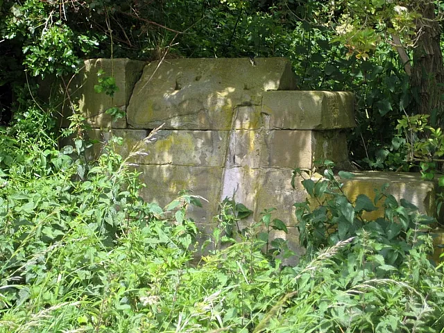 Rothwell Castle Historic site, Leeds0.3 km W
-
Springhead Park Natural site, England0.5 km E
-
Christ Church Attraction, Leeds2.5 km SW
-
Stanley Methodist Church Attraction, Wakefield3.6 km S
-
Zion Christian Centre Attraction, Wakefield3.7 km S
-
St. Peter's Church Attraction, Wakefield3.9 km S
Sources & licences
Data last updated: · 2 independent sources