Stanningley
Located in Leeds, England Coordinates: 53°48′24″ N 1°40′02″ W
- Elevation
- 124 m
- above sea level
- Local time
- UTC+00:00
- Europe/London · UTC+00:00
About Stanningley
Stanningley is a village. Location: Leeds, England. Elevation: 124 m.
Stanningley is a district of Pudsey, West Yorkshire, England. It is situated approximately 5 miles (8 km) west of Leeds city centre on the A647 road, the original main road from Leeds to Bradford. The appropriate Leeds Metropolitan Ward is Bramley and Stanningley. The parish is part of the Anglican Diocese of Leeds.
Read more on Wikipedia Text: Wikipedia contributors · CC BY-SA 4.0 · shortened
In comparison
- Nearest larger town: Farsley, 0 km NW
- 28 sights and natural places within 10 km Owlcotes Hill, Beecroft Hill
Nearby attractions & nature
Everything nearby-
Owlcotes Hill Mountain, Leeds1.3 km SW
-
Beecroft Hill Mountain, Leeds1.8 km E
-
Billing Hill Mountain, Leeds5.3 km N
-
Tyersal Mediumwave Transmitter Landmark, Drighlington3.3 km SW
-
Kirkstall Abbey Historic site, Leeds4.3 km E
-
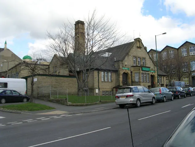 Bait-ul-Hamd Attraction, Bradford4.4 km W
Sources & licences
Data last updated: · 2 independent sources