Cooling Castle
Located in Cooling, Medway Coordinates: 51°27′19″ N 0°31′21″ E
- Local time
- UTC+00:00
- Europe/London · UTC+00:00
- Elevation
- 6 m
- above sea level
About Cooling Castle
Cooling Castle is a historic site. Location: Cooling, Medway.
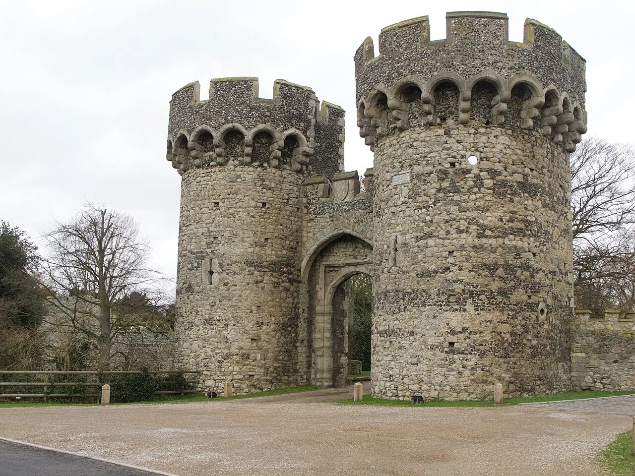
Cooling Castle is a 14th-century quadrangular castle in the village of Cooling, Kent on the Hoo Peninsula about 6 miles (9.7 km) north of Rochester. It was built in the 1380s by the Cobham family, the local lords of the manor, to guard the area against French raids into the Thames Estuary. The castle has an unusual layout, comprising two walled wards of unequal size next to each other, surrounded by moats and ditches. It was the earliest English castle designed for the use of gunpowder weapons by its defenders.
Read more on Wikipedia Text: Wikipedia contributors · CC BY-SA 4.0 · shortened
At a glance
- Built
- c. 1380
- Architect
- Henry Yevele
- Heritage designation
- scheduled monument
Source: Wikidata
In comparison
- 28 sights and natural places within 10 km Northward Hill, Ratley Hills
Nearby attractions & nature
Everything nearby-
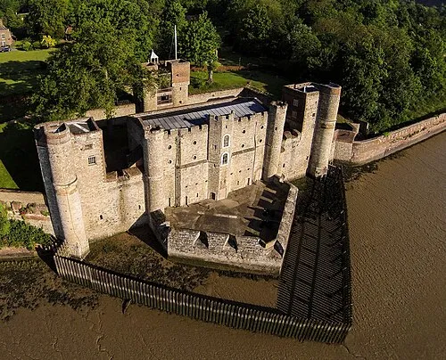 Upnor Castle Historic site, Frindsbury Extra5.4 km S
-
Northward Hill Mountain, High Halstow2.9 km E
-
Ratley Hills Mountain, Cliffe and Cliffe Woods2.9 km S
-
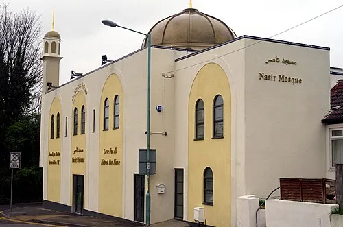 Nasir Mosque Attraction, Medway7 km S
-
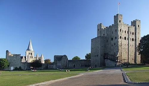 Rochester Castle Historic site, Medway7.5 km S
-
Hoo St Werburgh Mediumwave Transmitter, Mast West Landmark, Hoo St. Werburgh5.4 km SE
-
Hoo St Werburgh Mediumwave Transmitter, Mast East Landmark, Hoo St. Werburgh5.4 km SE
-
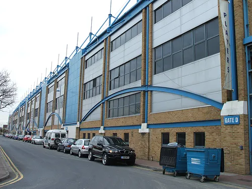 Priestfield Stadium Landmark, Hoo St. Werburgh8.3 km S
Nearest towns and villages
-
Cliffe Village, Cliffe and Cliffe Woods1.8 km NW
-
Cooling Village, Cooling0.1 km SE
-
Cliffe Woods Village, Cliffe and Cliffe Woods3 km SW
-
High Halstow Village, High Halstow2.5 km E
Sources & licences
Data last updated: · 2 independent sources