Medway
Located in England, United Kingdom Coordinates: 51°25′00″ N 0°30′00″ E
- Population
- 278,542
- 278.5K
- Elevation
- 18 m
- above sea level
- Local time
- UTC+00:00
- Europe/London · UTC+00:00
- Places inside
- 38
- listed under Medway
About Medway
Medway is a district. Location: England, United Kingdom. Population: 278,542.
In comparison
- 23 sights and natural places within 10 km Ratley Hills, Upnor Castle
- Listed here: Municipality: 11, Village: 8, Neighbourhood: 7, Attraction: 4
Places in Medway
38 places-
Gillingham City101.2K
-
Chatham Town80.6K
-
Strood Neighbourhood33.4K
-
Rainham Town6.4K
-
Rochester City28.7K
-
Spotlites @ Kings Theatre Attraction110
-
Allhallows Municipality
-
Brompton Village
-
Capstone Village
-
Cliffe and Cliffe Woods Municipality
-
Cooling Municipality
-
Cuxton Municipality
-
Darland Village
-
Frindsbury Neighbourhood
-
Frindsbury Extra Municipality
-
Garrison Church Attraction
-
Grange Neighbourhood
-
Gundulfs Tower Landmark
-
Hale Village
-
Halling Municipality
-
Hempstead Neighbourhood
-
High Halstow Municipality
-
Hoo St. Werburgh Municipality
-
Isle of Grain Municipality
-
Lower Twydall Village
-
Meresborough Village
-
Moor Street Village
-
Nasir Mosque Attraction
-
Park Wood Neighbourhood
-
Rochester Castle Historic site
-
St. Mary Hoo Municipality
-
St. Mary's Church Attraction
-
St Mary's Island Island
-
Stoke Municipality
-
Troy Town Neighbourhood
-
Twydall Neighbourhood
-
Wouldham Shoulder of Mutton Wood Historic site
Nature and heritage in Medway
-
Upnor Castle Historic site, Frindsbury Extra
-
Cooling Castle Historic site, Cooling
-
Priestfield Stadium Landmark, Hoo St. Werburgh
-
Ratley Hills Mountain, Cliffe and Cliffe Woods
-
Northward Hill Mountain, High Halstow
-
St Mary's Bay Natural site, St. Mary Hoo
Nearby attractions & nature
Everything nearby-
William's Hill Mountain, Cobham5 km SW
-
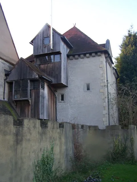 Starkey Castle Historic site, Wouldham6.5 km SW
-
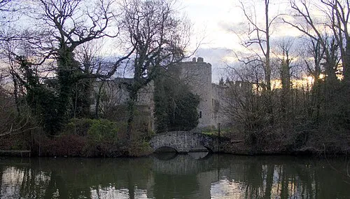 Allington Castle Historic site, Maidstone14 km S
-
River Thames River, England9 km N
-
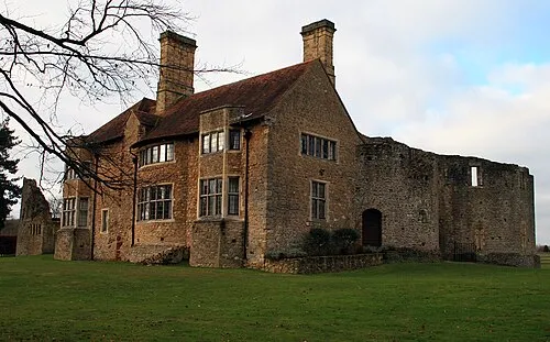 Leybourne Castle Historic site, Leybourne14 km SW
-
Otterham Creek River, England10 km E
Sources & licences
Data last updated: