Halling
Located in Medway, England Coordinates: 51°21′17″ N 0°25′37″ E
- Elevation
- 61 m
- above sea level
- Local time
- UTC+00:00
- Europe/London · UTC+00:00
- Places inside
- 4
- listed under Halling
About Halling
Halling is a municipality. Location: Medway, England. Elevation: 61 m.
In comparison
- Nearest larger town: Halling, 1 km E
- 19 sights and natural places within 10 km Starkey Castle, Wouldham Shoulder of Mutton Wood
- Listed here: Village: 3, Neighbourhood: 1
Places in Halling
4 places-
Halling Village1.8K
-
New Town Neighbourhood
-
North Halling Village
-
Upper Halling Village
Nearby attractions & nature
Everything nearby-
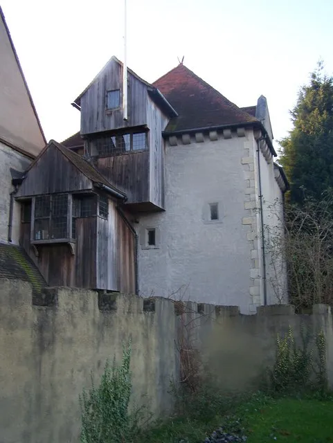 Starkey Castle Historic site, Wouldham2.5 km NE
-
Wouldham Shoulder of Mutton Wood Historic site, Medway3.7 km E
-
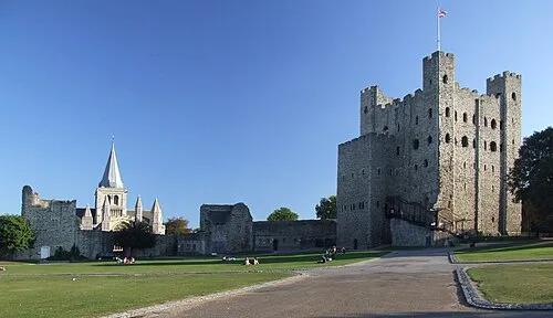 Rochester Castle Historic site, Medway6.5 km NE
-
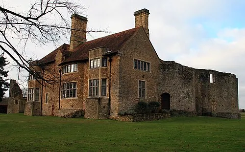 Leybourne Castle Historic site, Leybourne5.6 km S
-
William's Hill Mountain, Cobham4.1 km N
-
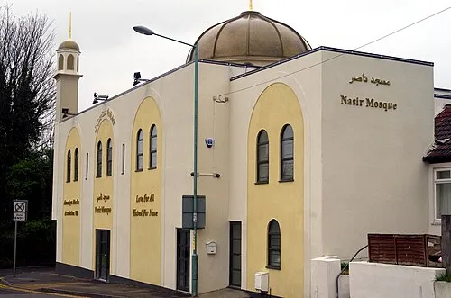 Nasir Mosque Attraction, Medway9.7 km NE
-
Gundulfs Tower Landmark, Medway6.5 km NE
-
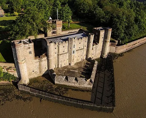 Upnor Castle Historic site, Frindsbury Extra9.1 km NE
Other cities and towns in Medway
-
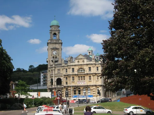 Chatham Town, Medway7.5 km E
-
Rochester City, Medway6.6 km NE
-
Gillingham City, Medway9.3 km NE
-
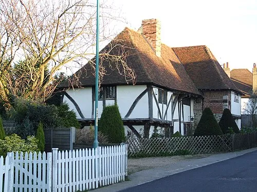 Rainham Town, Medway13 km E
-
Frindsbury Extra Municipality, Medway8.3 km NE
-
Hoo Town, Hoo St. Werburgh12 km NE
Sources & licences
Data last updated: