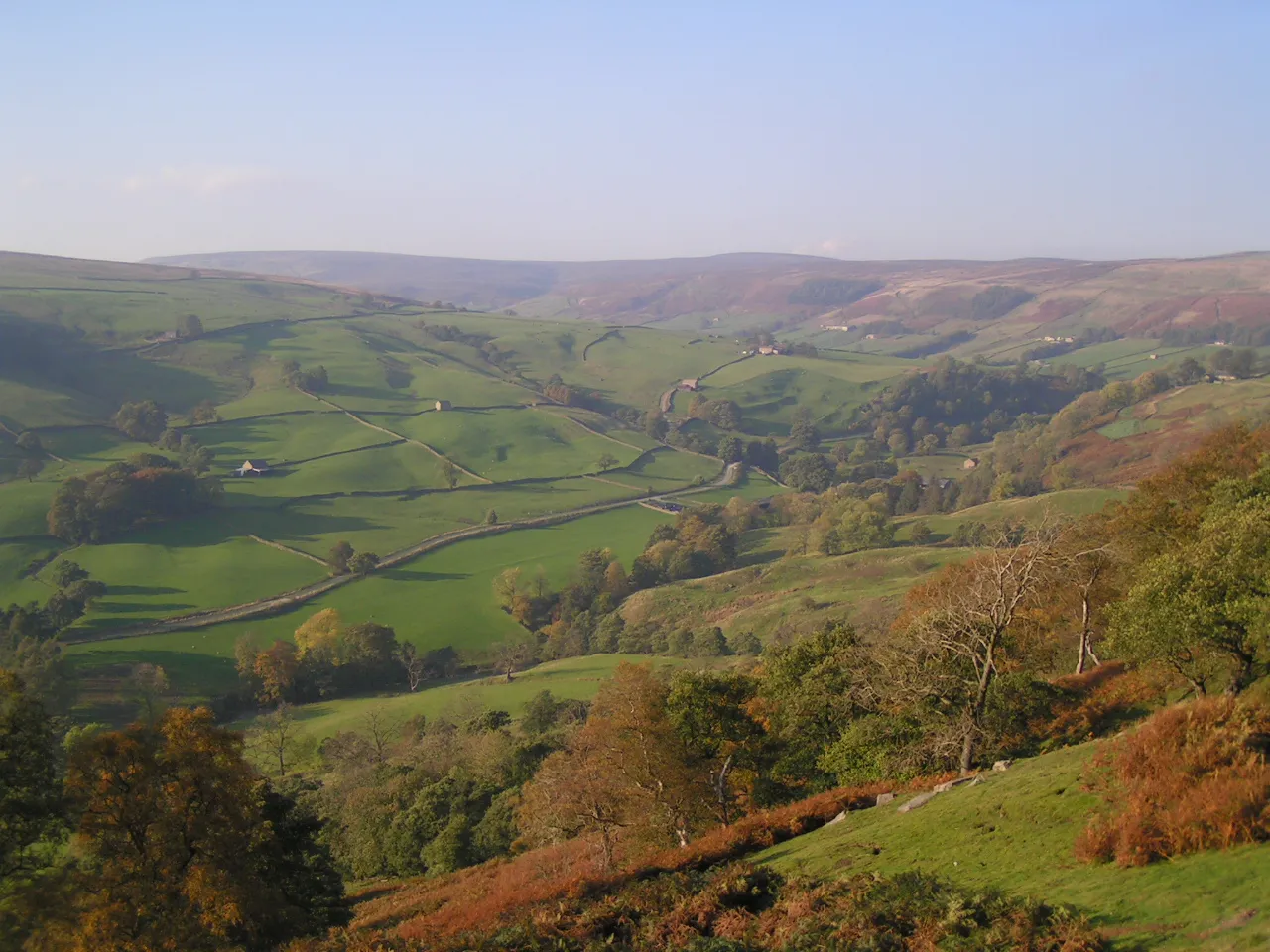
Nidderdale
Located in England, United Kingdom Coordinates: 54°10′00″ N 1°52′00″ W
- Elevation
- 320 m
- above sea level
- Local time
- UTC+00:00
- Europe/London · UTC+00:00
About Nidderdale
Nidderdale is a natural site. Location: England, United Kingdom.
Nidderdale, historically also known as Netherdale, is a valley in North Yorkshire, England. It is one of the Yorkshire Dales, which are part of the Pennines. It is named after the River Nidd, which rises on Great Whernside at the head of the dale. Nidderdale is not within the Yorkshire Dales National Park, but is protected as part of the Nidderdale National Landscape. The only town in the dale is Pateley Bridge.
Read more on Wikipedia Text: Wikipedia contributors · CC BY-SA 4.0 · shortened
At a glance
- Heritage designation
- National Landscape
Source: Wikidata
In comparison
- 9 sights and natural places within 10 km Woodale Moss, Dead Man's Hill
Nearest towns and villages
-
Middlesmoor Village, Stonebeck Up0.5 km SE
-
Stean Village, Stonebeck Down1.1 km S
-
Stonebeck Up Village, Harrogate District3.8 km W
-
Stonebeck Down Village, Harrogate District4.4 km S
-
Fountains Earth Village, Harrogate District4.4 km SE
-
Lofthouse Village, Fountains Earth2.9 km SE
Nearby attractions & nature
Everything nearby-
Woodale Moss Mountain, Stonebeck Up2 km NW
-
Great Haw Mountain, Colsterdale5 km N
-
Dead Man's Hill Mountain, Stonebeck Up4.8 km NW
-
Moss Drive Mountain, Stonebeck Down5.4 km SW
-
Meugher Mountain, Stonebeck Down6 km SW
-
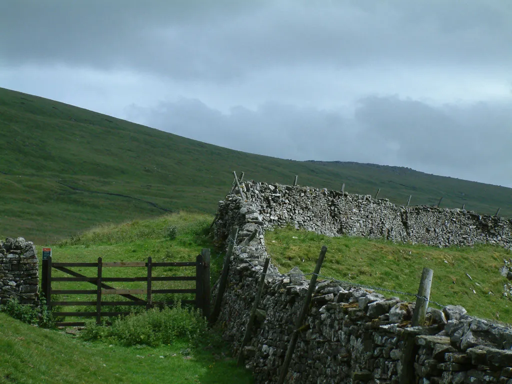 Great Whernside Mountain, Kettlewell with Starbotton8.6 km W
-
Little Whernside Mountain, Carlton Highdale7.5 km NW
-
Leighton Reservoir Lake, England7.5 km NE
More nature in United Kingdom
-
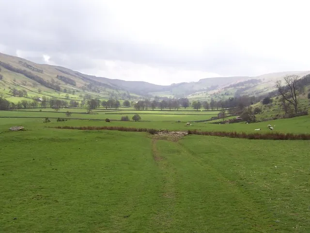 Bishopdale Natural site, England13 km NW
-
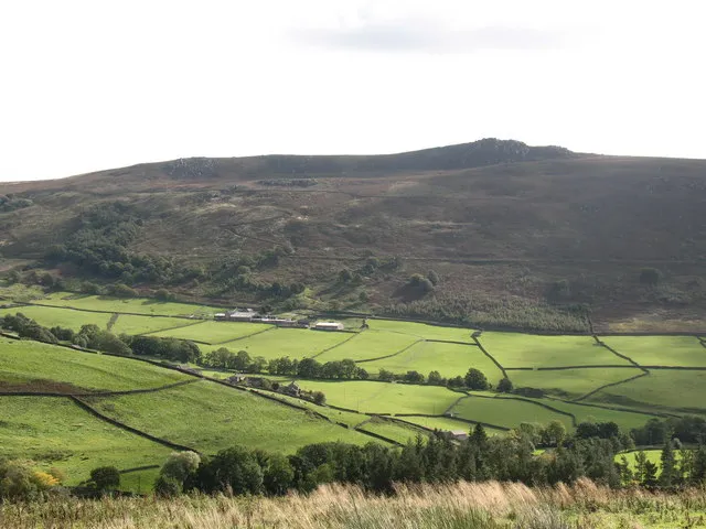 Simon's Seat Mountain, Barden15 km S
-
Penhill Beacon Mountain, Carlton Town12 km N
-
Nabs Mountain, Bewerley9.4 km S
-
Brown Haw Mountain, Burton-cum-Walden11 km NW
-
Greenhow Hill Top Mountain, Bewerley11 km S
Sources & licences
Data last updated: · 2 independent sources