Saddleworth
Located in Oldham, England Coordinates: 53°33′51″ N 1°59′29″ W
- Elevation
- 233 m
- above sea level
- Local time
- UTC+00:00
- Europe/London · UTC+00:00
- Places inside
- 50
- listed under Saddleworth
About Saddleworth
Saddleworth is a municipality. Location: Oldham, England. Elevation: 233 m.
In comparison
- Nearest larger town: Diggle, 1 km NW
- 36 sights and natural places within 10 km Harrop Edge, Delph Hill
- Listed here: Neighbourhood: 21, Village: 20, Mountain: 7, Town: 2
Places in Saddleworth
50 places-
Saddleworth Town25.4K
-
Uppermill Town11.2K
-
Delph Village1.9K
-
Diggle Village1.7K
-
Dobcross Village1.6K
-
Denshaw Village595
-
Austerlands Neighbourhood
-
Badger Edge Mountain
-
Bleak Hey Nook Village
-
Boarshurst Neighbourhood
-
Braeside Neighbourhood
-
Bunkers Neighbourhood
-
Carr Village
-
Crompton Moor Mountain
-
Dacres Neighbourhood
-
Delph Hill Mountain
-
Doctor Lane Head Village
-
Featherbed Moss Mountain
-
Fur Lane Neighbourhood
-
Grange Village
-
Grasscroft Village
-
Greenfield Village
-
Grotton Neighbourhood
-
Harrop Edge Mountain
-
Harrop Green Neighbourhood
-
Heathfields Neighbourhood
-
Holly Grove Neighbourhood
-
Linfitts Village
-
Lower Arthurs Neighbourhood
-
Lydgate Village
-
Marslands Neighbourhood
-
New Delph Village
-
New Houses Village
-
Old Tame Village
-
Ox Hey Top Mountain
-
Rough Knarr Village
-
Scouthead Village
-
Shaws Neighbourhood
-
Slackcote Village
-
Springhead Neighbourhood
-
Stone Breaks Neighbourhood
-
Tame Water Neighbourhood
-
Top o' th' Meadows Village
-
Tunstead Neighbourhood
-
Wall Hill Village
-
Waterside Neighbourhood
-
Weakey Neighbourhood
-
Wharmton Mountain
-
Wood Brook Neighbourhood
-
Woolroad Neighbourhood
Nearby attractions & nature
Everything nearby-
Pule Hill Mountain, Kirklees3.9 km NE
-
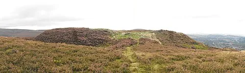 Buckton Castle Historic site, Mossley6.2 km S
-
Holly Bank Mountain, Oldham6.2 km SW
-
Quick Edge Mountain, Mossley5.5 km SW
-
Hoarstone Edge Mountain, Tameside6 km S
-
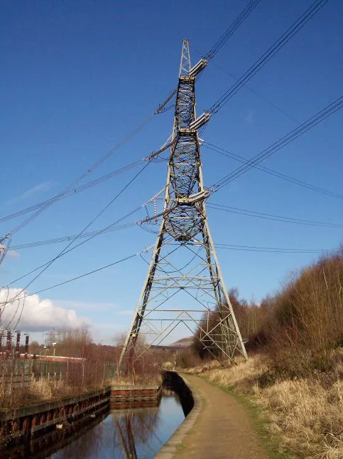 Huddersfield Narrow Canal Pylon Landmark, Tameside8.5 km SW
-
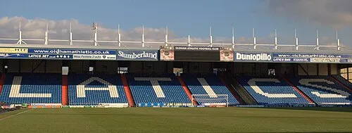 Boundary Park Landmark, Shaw and Crompton9.1 km W
-
Oldham Edge Mountain, Oldham7.9 km W
Other cities and towns in Oldham
-
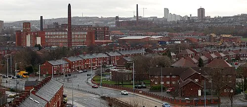 Oldham City, Oldham8.8 km W
-
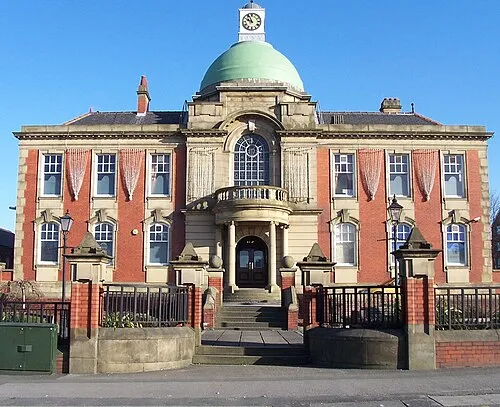 Chadderton Town, Oldham10 km W
-
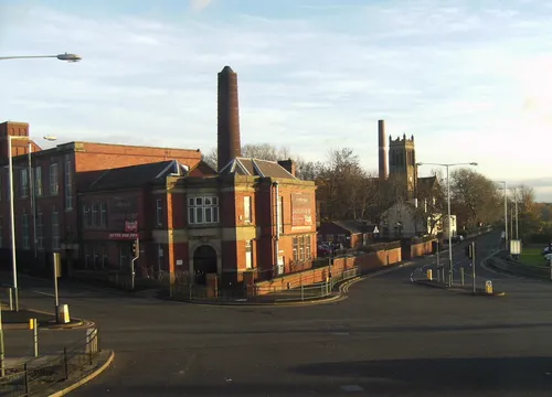 Hollinwood Town, Oldham11 km SW
-
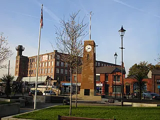 Failsworth Town, Oldham13 km SW
-
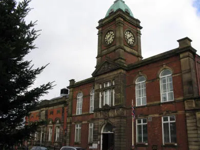 Royton Town, Shaw and Crompton8.7 km W
-
Shaw and Crompton Municipality, Oldham6.8 km W
Sources & licences
Data last updated: