Oxfordshire
Located in England, United Kingdom Coordinates: 51°50′00″ N 1°15′00″ W
- Population
- 763,218
- 763.2K
- Elevation
- 62 m
- above sea level
- Local time
- UTC+00:00
- Europe/London · UTC+00:00
- Places inside
- 5
- listed under Oxfordshire
About Oxfordshire
Oxfordshire is a district. Location: England, United Kingdom. Population: 763,218.
In comparison
- 23 sights and natural places within 10 km Otley Abbey, Woodeaton Hill
- Listed here: Municipality: 5
Places in Oxfordshire
5 places-
Oxford Municipality161.3K
-
Cherwell District Municipality146.3K
-
South Oxfordshire District Municipality138.1K
-
Vale of White Horse District Municipality128.7K
-
West Oxfordshire District Municipality108.7K
Nature and heritage in Oxfordshire
-
Rams Hill Mountain, Uffington
-
Whitehorse Hill Mountain, Uffington
-
Graven Hill Mountain, Ambrosden
-
Bald Hill Mountain, Lewknor
-
South Hill Mountain, Rollright
-
Shotover Hill Mountain, Forest Hill with Shotover
Nearby attractions & nature
Everything nearby-
River Cherwell River, England7.5 km S
-
River Evenlode River, England8 km SW
-
Boarstall Tower Landmark, Boarstall11 km E
-
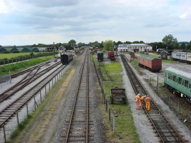 Buckinghamshire Railway Centre Museum, Quainton22 km E
-
Muswell Hill Mountain, Brill12 km E
-
North Hill Mountain, Brill14 km E
Sources & licences
Data last updated: