West Oxfordshire District
Located in Oxfordshire, England Coordinates: 51°50′24″ N 1°30′05″ W
- Population
- 108,674
- 108.7K
- Elevation
- 178 m
- above sea level
- Local time
- UTC+00:00
- Europe/London · UTC+00:00
- Places inside
- 83
- listed under West Oxfordshire District
- Airports
- BHX Birmingham Airport70 km
- LTN London Luton Airport78 km
About West Oxfordshire District
West Oxfordshire District is a municipality. Location: Oxfordshire, England. Population: 108,674. Elevation: 178 m. The best months to visit are June–August. The nearest airport is Birmingham Airport (70 km). Nearby sights include Ashmolean Museum and Pitt Rivers Museum.
Photos of West Oxfordshire District
-
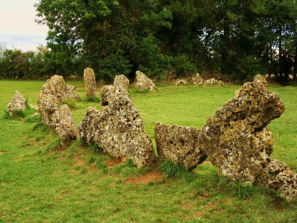
Rollright Stones Midnightblueowl at English Wikipedia · CC BY-SA 3.0 -
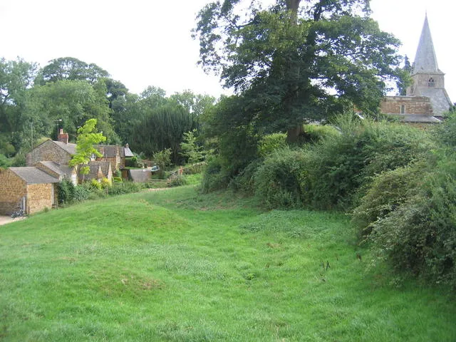
Swerford Castle David Stowell · CC BY-SA 2.0


Climate of West Oxfordshire District
Best months for sightseeingBest months for sightseeing: June–August.
This month · November
A cold month
Day 9° · Night 3° · Rain 68 mm
- Hottest month
- July (day 21°)
- Coldest month
- February (night 1°)
- Wettest month
- December (73 mm)
- Driest month
- February (50 mm)
Bars: average monthly low and high temperature. Below: precipitation. Monthly averages for 1970–2000 at about 18 km resolution, adjusted for elevation. Highlighted months are mild and relatively dry. Source: WorldClim 2.1 (CC BY 4.0).
Show values as a table
| Month | Jan | Feb | Mar | Apr | May | Jun | Jul | Aug | Sep | Oct | Nov | Dec |
|---|---|---|---|---|---|---|---|---|---|---|---|---|
| Average high (°C) | 6° | 7° | 9° | 12° | 16° | 19° | 21° | 21° | 18° | 13° | 9° | 7° |
| Average low (°C) | 1° | 1° | 2° | 3° | 6° | 9° | 12° | 11° | 9° | 6° | 3° | 2° |
| Precipitation (mm) | 70 | 50 | 59 | 50 | 56 | 61 | 50 | 63 | 65 | 64 | 68 | 73 |
How to get to West Oxfordshire District
The nearest airport is Birmingham Airport (BHX), 70 km to the north as the crow flies. The nearest large city is Oxford, 20 km to the southeast.
Airports
- Birmingham Airport (BHX) Birmingham, West Midlands 70 kmnorth
- London Luton Airport (LTN) Luton, Luton 78 kmeast
- London Heathrow Airport (LHR) London 83 kmsoutheast
Nearby large cities
- Oxford Population: 162.1K 20 kmsoutheast
- Swindon Population: 201.7K 37 kmsouthwest
- Cheltenham Population: 118.8K 40 kmwest
- Gloucester Population: 132.4K 51 kmwest
- Milton Keynes Population: 256.4K 56 kmnortheast
Straight-line distances; road distances are longer. Airport data: OurAirports.
Day trips from West Oxfordshire District
Within 100 km: 816 historic and cultural sites, 879 natural sites, 254 lakes, rivers and coasts.
0–25 km84 places
- Andersey Island Island 25 kmSE
- Rose Isle Island 23 kmSE
- Abbey Meadow Island 25 kmSE
- Fiddler's Elbow Island 23 kmSE
25–60 km431 places
- The Lynch Island 57 kmSE
- Alney Island Island 52 kmW
- Wargrave Island Island 57 kmSE
- Temple Mill Island Island 59 kmSE
60–100 km1,434 places
- Holm Island Island 81 kmSE
- Sunbury Court Island 90 kmSE
- Rivermead Island 90 kmSE
- Lot's Ait Island 92 kmSE
Straight-line distances.
West Oxfordshire District and similar cities
Side by side with cities of similar size in the same country: population, elevation and climate.
| Measure | West Oxfordshire District | Dagenham | Walthamstow | Basingstoke |
|---|---|---|---|---|
| Population | 108.7K | 108.4K | 109.4K | 107.6K |
| Elevation | 178 m | 13 m | 18 m | 96 m |
| Summer day (hottest month) | 21° | 22° | 23° | 22° |
| Winter night (coldest month) | 1° | 1° | 2° | 2° |
| Annual rainfall | 729 mm | 609 mm | 624 mm | 794 mm |
| Best months | Jun–Aug | Jun–Aug | Jun–Aug | Jun–Aug |
| Distance | — | 120 km | 106 km | 70 km |
Climate values are 1970–2000 monthly averages; straight-line distance.
Places in West Oxfordshire District
83 placesCities & villages60
- Alvescot · Village
- Ascott-under-Wychwood · Village
- Asthal · Village
- Aston, Cote, Shifford and Chimney · Village
- Bampton · Village
- Black Bourton · Village
- Bladon · Village
- Blenheim · Village
- Brize Norton · Village
- Broadwell · Village
- Bruern · Village
- Burford · Village
- Carterton · Village
- Cassington · Village
- Chadlington · Village
- Charlbury · Village
- Chastleton · Village
- Chilson · Village
- Chipping Norton · Village
- Churchill · Village
- Clanfield · Village
- Combe · Village
- Cornbury and Wychwood · Village
- Cornwell · Village
- Crawley · Village
- Curbridge · Village
- Ducklington · Village
- Enstone · Village
- Eynsham · Village
- Fawler · Village
- Fifield · Village
- Filkins and Broughton Poggs · Village
- Finstock · Village
- Freeland · Village
- Fulbrook · Village
- Glympton · Village
- Grafton and Radcot · Village
- Great Tew · Village
- Hailey · Village
- Hanborough · Village
- Hardwick-with-Yelford · Village
- Heythrop · Village
- Holwell · Village
- Idbury · Village
- Kelmscott · Village
- Kencot · Village
- Kiddington with Asterleigh · Village
- Kingham · Village
- Langford · Village
- Leafield · Village
- Lew · Village
- Little Faringdon · Village
- Little Tew · Village
- Lyneham · Village
- Milton-under-Wychwood · Village
- Minster Lovell · Village
- North Leigh · Village
- Northmoor · Village
- Over Norton · Village
- Ramsden · Village
Nearby attractions & nature
Everything nearby-
 Ashmolean Museum Museum, Oxford19 km SE
-
 Pitt Rivers Museum Museum, Oxford19 km SE
-
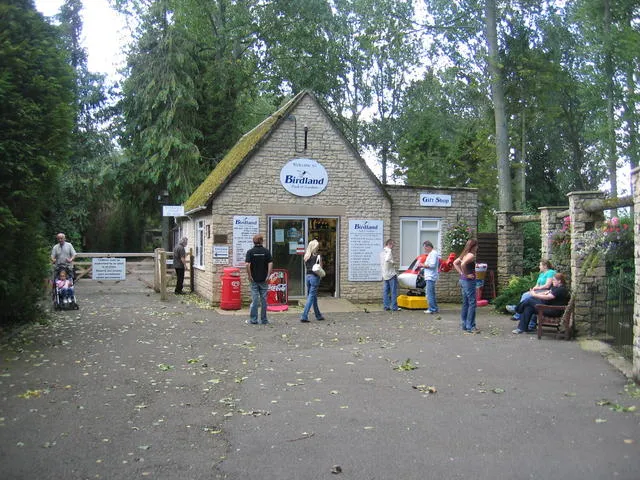 Birdland Park and Gardens Attraction, Bourton-on-the-Water18 km W
-
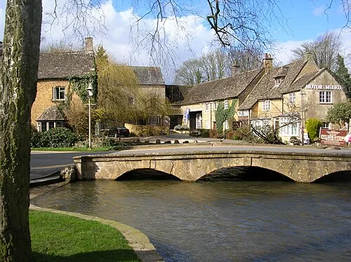 Cotswold Motoring Museum Museum, Bourton-on-the-Water18 km W
-
Faringdon Castle Historic site, Great Faringdon21 km S
-
Wytham Hill Mountain, Wytham14 km SE
-
Begbroke Science Park Natural site, Begbroke14 km E
-
Rowel Brook River, Begbroke12 km E
Sources & licences
Data last updated: