Pennine Chain
Located in England, United Kingdom Coordinates: 54°10′00″ N 2°10′00″ W
- Elevation
- 270 m
- above sea level
- Local time
- UTC+00:00
- Europe/London · UTC+00:00
About Pennine Chain
Pennine Chain is a mountain. Location: England, United Kingdom. Elevation: 270 m.
In comparison
- No. 10646 of 18223 mountains in United Kingdom by elevation
- 22 sights and natural places within 10 km Darnbrook Fell, Horse Head Moor
Nearest towns and villages
-
Litton Village, Craven District1.2 km E
-
Halton Gill Village, Craven District2.8 km W
-
Halton Gill Village, Halton Gill2.3 km NW
-
Litton Village, Litton2.9 km SE
-
Foxup Village, Halton Gill3 km NW
-
Buckden Village, Craven District5 km N
Nearby attractions & nature
Everything nearby-
Darnbrook Fell Mountain, Litton1.9 km SW
-
Horse Head Moor Mountain, Buckden2.4 km N
-
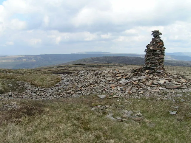 Fountains Fell Mountain, Malham Moor4.1 km SW
-
Birks Fell Mountain, Buckden3.2 km NE
-
Plover Hill Mountain, Halton Gill4.3 km W
-
Fountains Fell South Top Mountain, Malham Moor4.4 km SW
-
Blaydike Moss Mountain, Halton Gill4.8 km NW
-
Pen-y-ghent Mountain, Halton Gill5.5 km W
More nature in United Kingdom
-
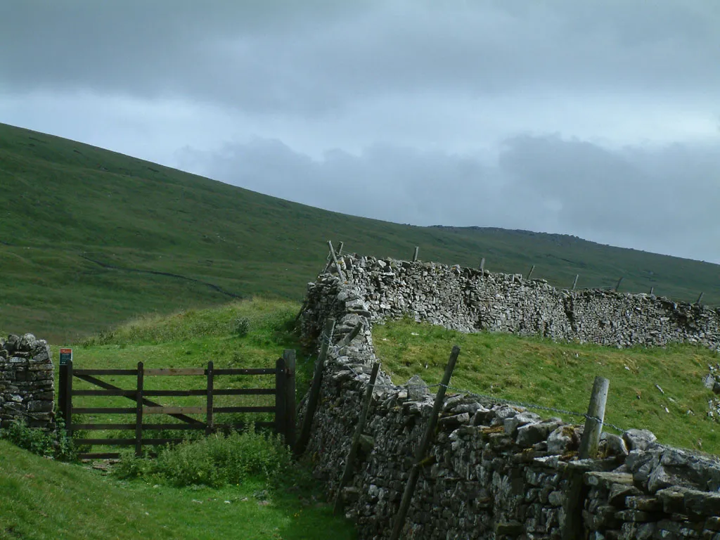 Great Whernside Mountain, Kettlewell with Starbotton11 km E
-
High Green Field Knott Mountain, Buckden6 km NW
-
Parson's Pulpit Mountain, Malham Moor6.4 km SE
-
Height Mountain, Malham Moor6.6 km S
-
Yockenthwaite Moor Mountain, Buckden6.8 km N
-
Clapham High Mark Mountain, Malham Moor7.4 km S
Sources & licences
Data last updated: