Gunthorpe
Located in Peterborough, England Coordinates: 52°36′40″ N 0°15′32″ W
- Elevation
- 29 m
- above sea level
- Local time
- UTC+00:00
- Europe/Lisbon · UTC+00:00
About Gunthorpe
Gunthorpe is a village. Location: Peterborough, England. Elevation: 29 m.
Gunthorpe is a residential area of the city of Peterborough, in the ceremonial county of Cambridgeshire, England. Since 2015 Gunthorpe has its own ward within Peterborough City Council that also encompasses parts of South Werrington. Development in Gunthorpe has been ongoing since the 1950s. The new Roman Fields development is in progress across the A15 and will include parks and a new academy. Development at the Roman Fields has been concurrent since 2006.
Read more on Wikipedia Text: Wikipedia contributors · CC BY-SA 4.0 · shortened
In comparison
- Nearest larger town: Glinton, 4 km NW
- 15 sights and natural places within 10 km Gunthorpe Mediumwave Transmitter, Dogsthorpe Honey Hill
Nearby attractions & nature
Everything nearby-
Gunthorpe Mediumwave Transmitter Landmark, Newborough1 km NE
-
Dogsthorpe Honey Hill Historic site, Peterborough1.6 km SE
-
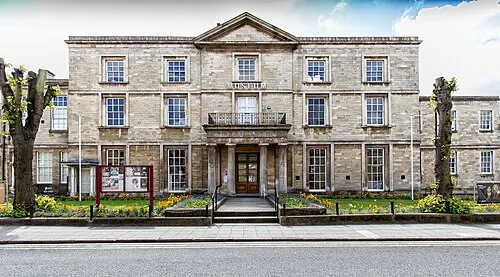 Peterborough Museum and Art Gallery Museum, Peterborough4.5 km S
-
Mount Thorold Historic site, Peterborough4.4 km S
-
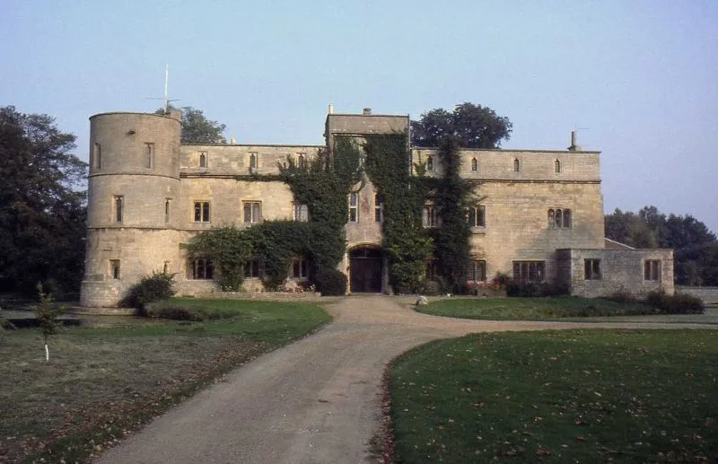 Woodcroft Castle Historic site, Etton4.3 km NW
-
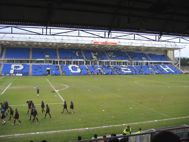 London Road Stadium Landmark, Peterborough5.3 km S
Sources & licences
Data last updated: · 2 independent sources