Werrington
Located in Peterborough, England Coordinates: 52°36′51″ N 0°16′20″ W
- Elevation
- 13 m
- above sea level
- Local time
- UTC+00:00
- Europe/London · UTC+00:00
About Werrington
Werrington is a village. Location: Peterborough, England. Elevation: 13 m.
Werrington is a residential area of the city of Peterborough, in the ceremonial county of Cambridgeshire, England. For electoral purposes it comprises North Werrington and South Werrington wards. Werrington spans an area of two and a half square miles (6 km2) and has a population of 14,800. Originally a village, Werrington was engulfed by Peterborough in the mid 20th century, as the city expanded. The area is on the northern edge of the conurbation, approximately four miles (6.4 km) from the city centre.
Read more on Wikipedia Text: Wikipedia contributors · CC BY-SA 4.0 · shortened
In comparison
- Nearest larger town: Glinton, 3 km NW
- 15 sights and natural places within 10 km Gunthorpe Mediumwave Transmitter, Dogsthorpe Honey Hill
Nearby attractions & nature
Everything nearby-
Gunthorpe Mediumwave Transmitter Landmark, Newborough1.7 km E
-
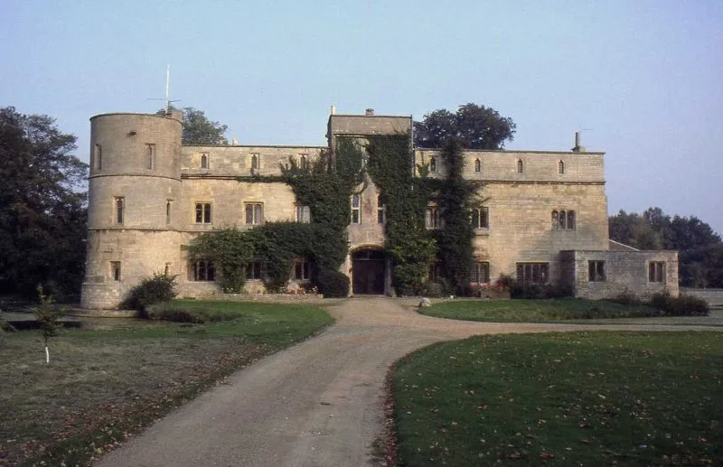 Woodcroft Castle Historic site, Etton3.3 km NW
-
Dogsthorpe Honey Hill Historic site, Peterborough2.5 km SE
-
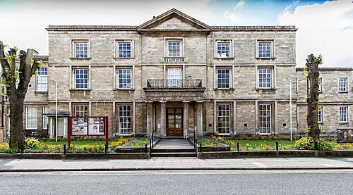 Peterborough Museum and Art Gallery Museum, Peterborough5 km S
-
Mount Thorold Historic site, Peterborough5 km SE
-
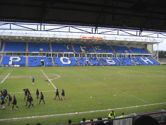 London Road Stadium Landmark, Peterborough5.9 km S
Sources & licences
Data last updated: · 2 independent sources