Milnrow
Located in Rochdale, England Coordinates: 53°36′40″ N 2°06′46″ W
- Population
- 9,227
- 9.2K
- Elevation
- 148 m
- above sea level
- Local time
- UTC+00:00
- Europe/London · UTC+00:00
About Milnrow
Milnrow is a town. Location: Rochdale, England. Population: 9,227. Elevation: 148 m.
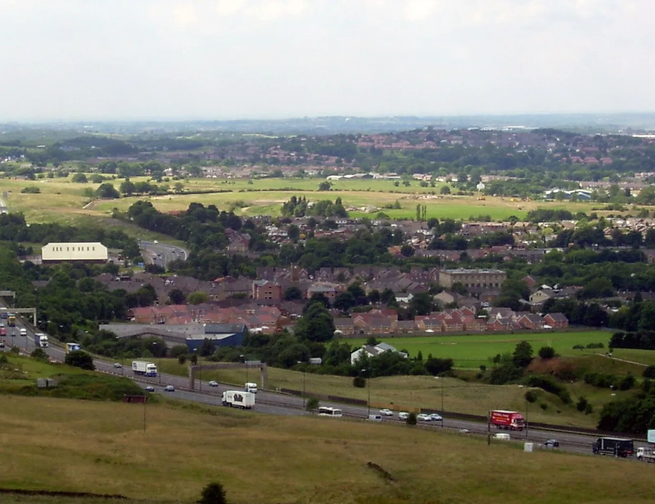
Milnrow is a town within the Metropolitan Borough of Rochdale, in Greater Manchester, England. It lies on the River Beal at the foothills of the South Pennines, and forms a continuous urban area with Rochdale. It is 2 miles (3.2 km) east of Rochdale town centre, 10 miles (16.1 km) north-northeast of Manchester, and spans from Windy Hill in the east to the Rochdale Canal in the west. Milnrow is adjacent to junction 21 of the M62 motorway, and includes the village of Newhey, and hamlets at Tunshill and Ogden.
Read more on Wikipedia Text: Wikipedia contributors · CC BY-SA 4.0 · shortened
In comparison
- No. 5 of 6 places in Rochdale by population
- Nearest larger town: Rochdale, 3 km W
- 32 sights and natural places within 10 km Hollingworth Lake, Moy Hill
Nearby attractions & nature
Everything nearby-
Hollingworth Lake Lake, England1 km NE
-
Moy Hill Mountain, Rochdale1.7 km E
-
Heights Barn Hill Mountain, Rochdale1.8 km NE
-
Dick Hill Mountain, Rochdale2.4 km E
-
Moss Gate Mountain, Shaw and Crompton2.2 km S
-
Hollingworth Hill Mountain, Rochdale3 km NE
-
Cleggswood Hill Mountain, Rochdale3.4 km NE
-
Birch Hill Mountain, Rochdale4 km N
Other cities and towns in Rochdale
-
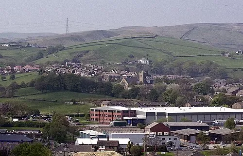 Littleborough Town, Rochdale3.8 km N
-
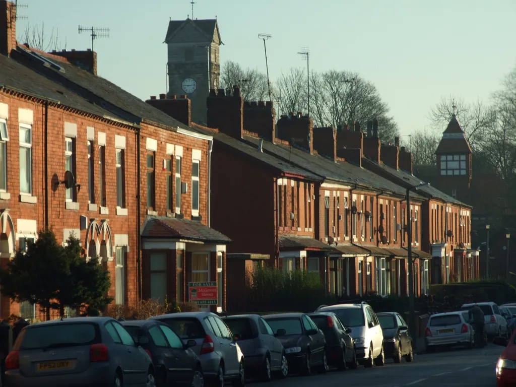 Middleton Town, Rochdale8.9 km SW
-
Wardle Town, Rochdale4.5 km N
Sources & licences
Data last updated: · 2 independent sources