Boothstown
Located in Salford, England Coordinates: 53°30′09″ N 2°24′59″ W
- Population
- 9,599
- 9.6K
- Elevation
- 42 m
- above sea level
- Local time
- UTC+00:00
- Europe/London · UTC+00:00
About Boothstown
Boothstown is a village. Location: Salford, England. Population: 9,599. Elevation: 42 m.
Boothstown is a suburban village in the City of Salford in Greater Manchester, England. Boothstown forms part of the Boothstown and Ellenbrook ward, which had a population at the 2011 Census of 9,599. The village is within the boundaries of the historic county of Lancashire, west of the City of Salford, bordered to the north by the East Lancashire Road A580 and to the south by the Bridgewater Canal.
Read more on Wikipedia Text: Wikipedia contributors · CC BY-SA 4.0 · shortened
In comparison
- No. 9 of 9 places in Salford by population
- Nearest larger town: Walkden, 2 km NE
- 13 sights and natural places within 10 km Newcombe Drive (Greenheys), Salford City Stadium
Nearby attractions & nature
Everything nearby-
Newcombe Drive (Greenheys) Mountain, Salford4.2 km N
-
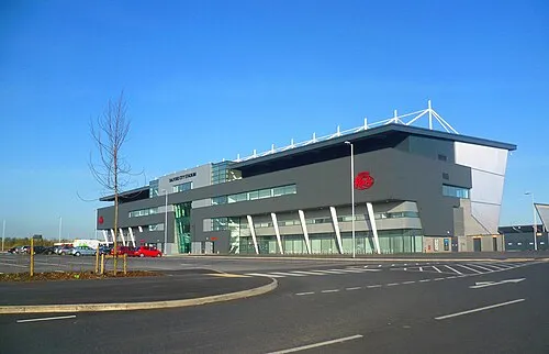 Salford City Stadium Landmark, Salford4.6 km SE
-
Top o' Cow Mountain, Bolton6.5 km NW
-
Agecroft Hall Historic site, Borough of Bury7.9 km E
-
Octagon Theatre, Bolton Attraction, Bolton8.4 km N
-
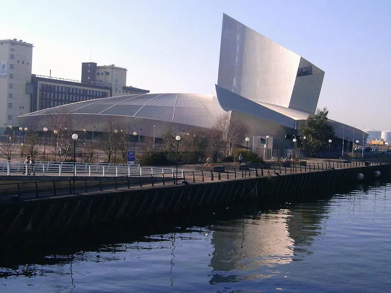 Imperial War Museum North Museum, Trafford8.6 km SE
Sources & licences
Data last updated: · 2 independent sources