Churchfield
Located in Sandwell, England Coordinates: 52°31′50″ N 1°59′12″ W
- Elevation
- 154 m
- above sea level
- Local time
- UTC+00:00
- Europe/London · UTC+00:00
About Churchfield
Churchfield is a neighbourhood. Location: Sandwell, England.
In comparison
- Nearest larger town: West Bromwich, 1 km S
- 26 sights and natural places within 10 km Dartmouth Park, The Hawthorns
Airports nearest to Churchfield
- Birmingham Airport (BHX) Birmingham, West Midlands 18 km
- East Midlands Airport (EMA) Nottingham, Leicestershire 56 km
- Manchester Airport (MAN) Manchester, Greater Manchester 93 km
Straight-line distance; airports with scheduled flights only. Source: OurAirports (public domain).
Nearby attractions & nature
Everything nearby-
Dartmouth Park Natural site, Sandwell1.3 km S
-
Bromford Stop Island, Sandwell2.9 km SW
-
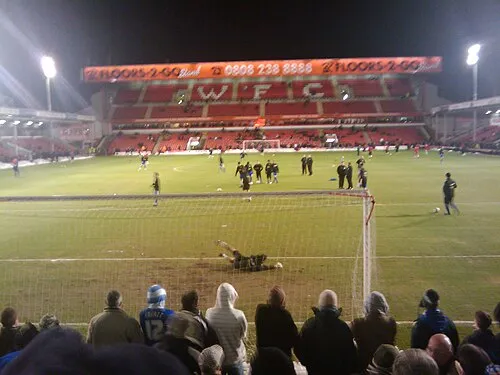 Bescot Stadium Landmark, Walsall3.9 km N
-
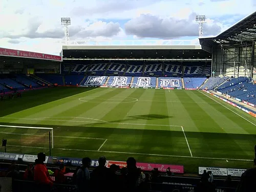 The Hawthorns Landmark, Sandwell2.8 km SE
-
Church Hill Mountain, Sandwell3.5 km NW
-
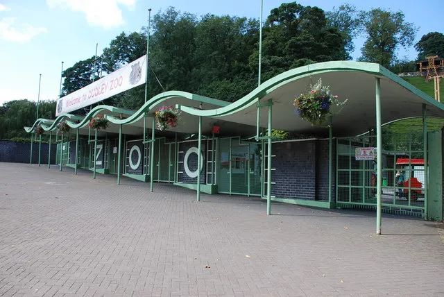 Dudley Zoo Attraction, Dudley6.4 km W
Sources & licences
Data last updated: