Seaforth
Located in Sefton, England Coordinates: 53°28′00″ N 3°01′00″ W
- Elevation
- 15 m
- above sea level
- Local time
- UTC+00:00
- Europe/London · UTC+00:00
About Seaforth
Seaforth is a village. Location: Sefton, England. Elevation: 15 m.
Seaforth is a district in the Metropolitan Borough of Sefton, Merseyside, England. Historically in Lancashire, it is north of Liverpool, between Bootle and Waterloo.
Read more on Wikipedia Text: Wikipedia contributors · CC BY-SA 4.0 · shortened
In comparison
- Nearest larger town: Bootle, 0 km N
- 28 sights and natural places within 10 km North Wall Light (historical), River Mersey
Nearby attractions & nature
Everything nearby-
North Wall Light (historical) Landmark, Sefton2 km S
-
River Mersey River, England2.2 km SW
-
Gorse Hill Mountain, Wirral4.1 km SW
-
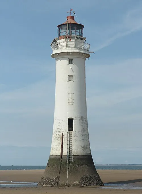 Perch Rock Lighthouse Landmark, Wirral3 km SW
-
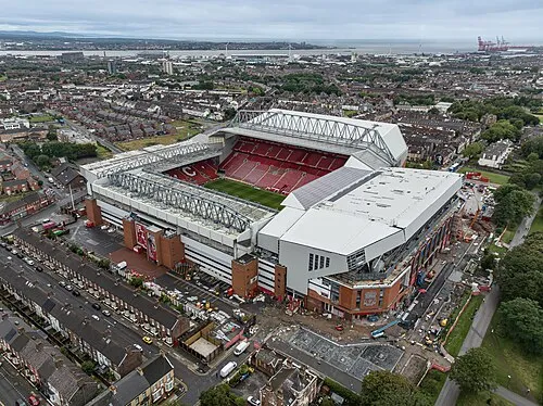 Anfield Landmark, Liverpool5.4 km SE
-
Canada Lock Tower (historical) Landmark, Liverpool3.2 km S
Sources & licences
Data last updated: · 2 independent sources