Stocksbridge
Located in Sheffield, England Coordinates: 53°28′28″ N 1°35′21″ W
- Elevation
- 248 m
- above sea level
- Local time
- UTC+00:00
- Europe/London · UTC+00:00
- Places inside
- 22
- listed under Stocksbridge
About Stocksbridge
Stocksbridge is a municipality. Location: Sheffield, England. Elevation: 248 m.
In comparison
- Nearest larger town: Stocksbridge, 1 km N
- 26 sights and natural places within 10 km Bolsterstone Castle, Little Don River
- Listed here: Neighbourhood: 15, Village: 3, Mountain: 2, Historic site: 1
Places in Stocksbridge
22 places-
Stocksbridge Town13.1K
-
Bolsterstone Village
-
Bolsterstone Castle Historic site
-
Bracken Moor Neighbourhood
-
Briery Busk Mountain
-
Carr Head Neighbourhood
-
Deepcar Village
-
East Whitwell Neighbourhood
-
Ewden Village Village
-
Garden Village Neighbourhood
-
Hollin Busk Neighbourhood
-
Horner House Neighbourhood
-
Knoll Top Neighbourhood
-
Old Haywoods Neighbourhood
-
Royd Neighbourhood
-
Shay House Neighbourhood
-
Smithy Moor Neighbourhood
-
Spink Hall Neighbourhood
-
Stubbin Neighbourhood
-
Whitwell Moor Mountain
-
Wood Royd Neighbourhood
-
Wood Willows Neighbourhood
Nearby attractions & nature
Everything nearby-
Little Don River River, England1.7 km SE
-
Wharncliffe Chase Mountain, Wortley4.2 km E
-
Ewden Beck River, England3.8 km SE
-
Edge Mount Mountain, Bradfield4.7 km S
-
Bradfield Bailey Hill Historic site, Bradfield5 km S
-
Bradfield Castle Hill Historic site, Bradfield5.3 km S
-
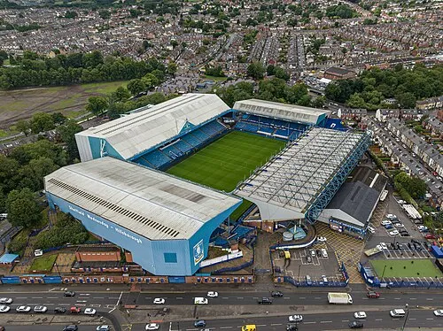 Hillsborough Stadium Landmark, Bradfield9.1 km SE
-
Hartcliff Hill Mountain, Penistone6.8 km NW
Other cities and towns in Sheffield
-
 Sheffield City, Sheffield13 km SE
-
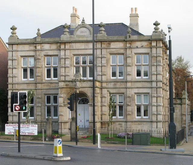 Burngreave Town, Sheffield13 km SE
-
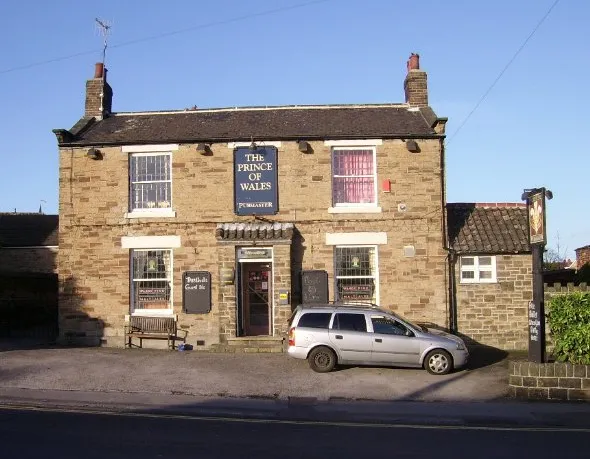 Chapeltown Town, Ecclesfield7.8 km E
-
Fulwood Town, Sheffield14 km S
-
Bradfield Municipality, Sheffield6.1 km SW
-
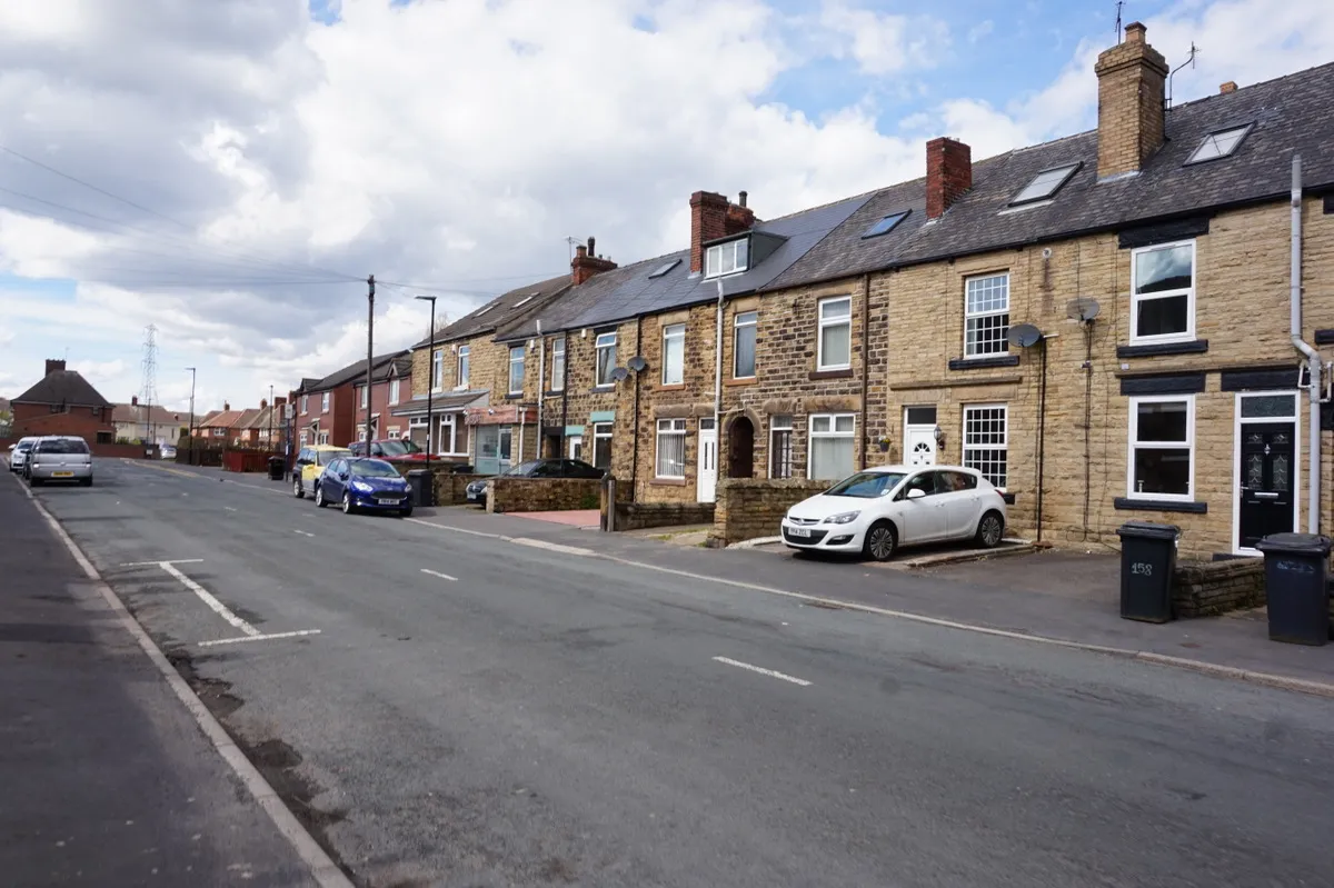 Beighton Town, Sheffield23 km SE
Sources & licences
Data last updated: