Claverley
Located in Shropshire, England Coordinates: 52°31′55″ N 2°18′22″ W
- Elevation
- 83 m
- above sea level
- Local time
- UTC+00:00
- Europe/London · UTC+00:00
- Places inside
- 20
- listed under Claverley
About Claverley
Claverley is a municipality. Location: Shropshire, England. Elevation: 83 m.
In comparison
- Nearest larger town: Claverley, 1 km N
- 9 sights and natural places within 10 km Blackhill, Quatford
- Listed here: Village: 20
Places in Claverley
20 places-
Claverley Village549
-
Aston Village
-
Beobridge Village
-
Broad Oak Village
-
Broughton Village
-
Dallicot Village
-
Draycott Village
-
Farmcote Village
-
Heathton Village
-
Hillend Village
-
Hopstone Village
-
Long Common Village
-
Lower Beobridge Village
-
Ludstone Village
-
Shipley Village
-
Upper Aston Village
-
Upper Farmcote Village
-
Wallhill Village
-
Wooton Village
-
Woundale Village
Nearby attractions & nature
Everything nearby-
Blackhill Mountain, Swindon4.7 km E
-
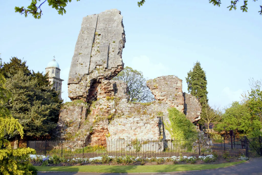 Bridgnorth Castle Historic site, Bridgnorth7.7 km W
-
Quatford Historic site, Bridgnorth5.9 km W
-
Hermitage Hill Mountain, Worfield6.4 km W
-
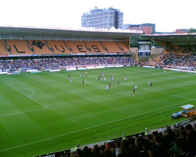 Molineux Stadium Landmark, Wolverhampton14 km NE
-
Sheepwalks Hill Mountain, Enville7.9 km S
-
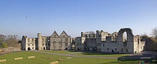 Dudley Castle Historic site, Dudley16 km E
-
Stourton Castle Historic site, Kinver10 km SE
Sources & licences
Data last updated: