- Elevation
- 82 m
- above sea level
- Local time
- UTC+00:00
- Europe/London · UTC+00:00
- Airports
- BHX Birmingham Airport39 km
- EMA East Midlands Airport73 km
About Ludstone
Ludstone is a village. Location: Claverley, Shropshire. Elevation: 82 m. The best months to visit are June–August. The nearest airport is Birmingham Airport (39 km). Nearby sights include Blackhill and Bridgnorth Castle.
Climate of Ludstone
Best months for sightseeingBest months for sightseeing: June–August.
This month · November
A cold month
Day 9° · Night 3° · Rain 90 mm
- Hottest month
- July (day 20°)
- Coldest month
- February (night 1°)
- Wettest month
- December (91 mm)
- Driest month
- April (59 mm)
Bars: average monthly low and high temperature. Below: precipitation. Monthly averages for 1970–2000 at about 18 km resolution, adjusted for elevation. Highlighted months are mild and relatively dry. Source: WorldClim 2.1 (CC BY 4.0).
Show values as a table
| Month | Jan | Feb | Mar | Apr | May | Jun | Jul | Aug | Sep | Oct | Nov | Dec |
|---|---|---|---|---|---|---|---|---|---|---|---|---|
| Average high (°C) | 7° | 7° | 9° | 12° | 15° | 18° | 20° | 20° | 17° | 13° | 9° | 7° |
| Average low (°C) | 1° | 1° | 2° | 3° | 6° | 9° | 11° | 11° | 9° | 6° | 3° | 2° |
| Precipitation (mm) | 86 | 62 | 71 | 59 | 59 | 73 | 60 | 79 | 75 | 82 | 90 | 91 |
How to get to Ludstone
The nearest airport is Birmingham Airport (BHX), 39 km to the east as the crow flies. The nearest large city is Wolverhampton, 12 km to the east.
Airports
- Birmingham Airport (BHX) Birmingham, West Midlands 39 kmeast
- East Midlands Airport (EMA) Nottingham, Leicestershire 73 kmnortheast
- Manchester Airport (MAN) Manchester, Greater Manchester 89 kmnorth
Nearby large cities
- Wolverhampton Population: 263.7K 12 kmeast
- Dudley Population: 199.1K 15 kmeast
- Telford Population: 155.6K 18 kmnorthwest
- West Bromwich Population: 103.1K 21 kmeast
- Walsall Population: 172.1K 22 kmeast
Straight-line distances; road distances are longer. Airport data: OurAirports.
Day trips from Ludstone
Within 100 km: 965 historic and cultural sites, 1,827 natural sites, 119 lakes, rivers and coasts.
0–25 km103 places
- Withymoor Island Island 16 kmSE
- Bromford Stop Island 20 kmE
- The Wrekin Mountain 22 kmNW
- Brown Clee Hill Mountain 22 kmW
25–60 km772 places
- Horninglow island Island 54 kmNE
- Glover's Island Island 55 kmSE
- Crescent Wood Island Island 41 kmE
- The Island Island 43 kmSW
60–100 km2,036 places
- Alney Island Island 76 kmS
- Barton Island Island 83 kmNE
- The Islands Island 84 kmE
- Holme Nook Island 71 kmNE
Straight-line distances.
Nearby attractions & nature
Everything nearby-
Blackhill Mountain, Swindon4.7 km SE
-
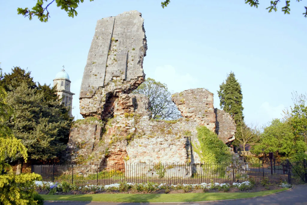 Bridgnorth Castle Historic site, Bridgnorth8.6 km W
-
Hermitage Hill Mountain, Worfield7.4 km W
-
Wrottesley Hill Mountain, Perton6.9 km NE
-
Quatford Historic site, Bridgnorth7.4 km SW
-
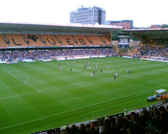 Molineux Stadium Landmark, Wolverhampton12 km NE
Sources & licences
Data last updated: