Minsterley
Located in Shropshire, England Coordinates: 52°38′00″ N 2°56′04″ W
- Elevation
- 119 m
- above sea level
- Local time
- UTC+00:00
- Europe/London · UTC+00:00
- Places inside
- 10
- listed under Minsterley
About Minsterley
Minsterley is a municipality. Location: Shropshire, England. Elevation: 119 m.
In comparison
- Nearest larger town: Minsterley, 1 km NE
- 53 sights and natural places within 10 km Callow Castle, Lordshill
- Listed here: Village: 8, Historic site: 1, Neighbourhood: 1
Places in Minsterley
10 places-
Minsterley Village1.5K
-
Callow Castle Historic site
-
Etsell Village
-
Horsebridge Village
-
Ladyoak Village
-
Little Minsterley Neighbourhood
-
Ploxgreen Village
-
Reabrook Village
-
The Waterwheel Village
-
Wagbeach Village
Nearby attractions & nature
Everything nearby-
Lordshill Mountain, Worthen with Shelve2.3 km SE
-
Aston Rogers Pond House Historic site, Worthen with Shelve3.4 km NW
-
Habberley Hall Historic site, Pontesbury2.9 km E
-
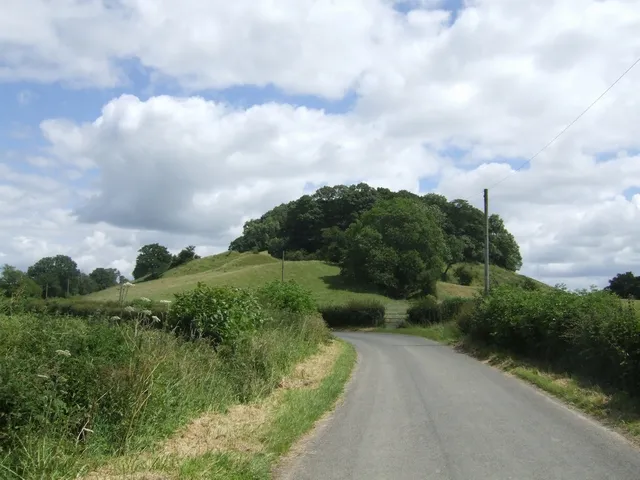 Caus Castle Historic site, Westbury4.7 km NW
-
Hope Castle Mound Historic site, Worthen with Shelve3.2 km SW
-
Pontesbury Castle Historic site, Pontesbury3.6 km NE
-
Hawcocks Farm Ringwork Historic site, Westbury3.9 km NW
-
The Paddock Mountain, Worthen with Shelve4.1 km S
Sources & licences
Data last updated: