Ratlinghope
Located in Shropshire, England Coordinates: 52°34′29″ N 2°53′40″ W
- Elevation
- 294 m
- above sea level
- Local time
- UTC+00:00
- Europe/London · UTC+00:00
- Places inside
- 6
- listed under Ratlinghope
About Ratlinghope
Ratlinghope is a municipality. Location: Shropshire, England. Elevation: 294 m.
In comparison
- Nearest larger town: All Stretton, 7 km E
- 67 sights and natural places within 10 km Gatten Hill, Ratlinghope Hill
- Listed here: Mountain: 3, Village: 3
Places in Ratlinghope
6 places-
Bridges Village
-
Gatten Hill Mountain
-
Ratlinghope Village
-
Ratlinghope Hill Mountain
-
Stiperstones Mountain
-
Stitt Village
Nearby attractions & nature
Everything nearby-
Cothercott Hill Mountain, Church Pulverbatch2.4 km NE
-
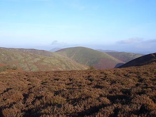 Long Mynd - Pole Bank Mountain, Church Stretton3.9 km SE
-
Paulith Bank Mountain, Church Pulverbatch2.9 km N
-
Adstone Hill Mountain, Wentnor2.9 km S
-
The Paddock Mountain, Worthen with Shelve3.1 km NW
-
Picklescott Historic site, Church Pulverbatch3.3 km NE
-
Linley Hill North Top Mountain, Wentnor3.8 km SW
-
Ritton Castle Historic site, Worthen with Shelve5 km W
Sources & licences
Data last updated: