Long Mynd - Pole Bank
Located in Church Stretton, Shropshire Coordinates: 52°32′41″ N 2°51′50″ W
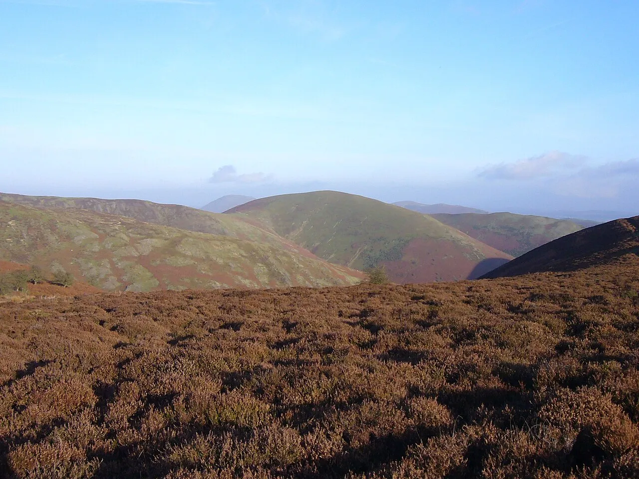
- Elevation
- 517 m
- above sea level
- Local time
- UTC+00:00
- Europe/London · UTC+00:00
- Airports
- BHX Birmingham Airport76 km
- LPL Liverpool John Lennon Airport88 km
About Long Mynd - Pole Bank
Long Mynd - Pole Bank is a mountain. Location: Church Stretton, Shropshire. Elevation: 517 m.
The Long Mynd is a heath and moorland plateau that forms part of the Shropshire Hills in Shropshire, England. The high ground, which is common land and designated as a National Landscape, lies between the Stiperstones range to the west and the Stretton Hills and Wenlock Edge to the east. Much of it is owned by the National Trust, and is managed by the Longmynd Commoners.
Source: Wikipedia · CC BY-SA 4.0
At a glance
- Length
- 11 km
- Area
- 54 km²
Source: Wikidata
Photos of Long Mynd - Pole Bank
-

Bill Harrison · CC BY-SA 2.0 -

Andy Stephenson · CC BY-SA 2.0 -

Stuart Logan · CC BY-SA 2.0 -

Thomas Tolkien · CC BY 2.0 -

Anthony Parkes · CC BY-SA 2.0


Climate of Long Mynd - Pole Bank
Best months for sightseeingBest months for sightseeing: June–August.
This month · November
A wet month
Day 7° · Night 1° · Rain 105 mm
- Hottest month
- July (day 18°)
- Coldest month
- February (night -2°)
- Wettest month
- December (111 mm)
- Driest month
- July (62 mm)
Bars: average monthly low and high temperature. Below: precipitation. Monthly averages for 1970–2000 at about 18 km resolution, adjusted for elevation. Highlighted months are mild and relatively dry. Source: WorldClim 2.1 (CC BY 4.0).
Show values as a table
| Month | Jan | Feb | Mar | Apr | May | Jun | Jul | Aug | Sep | Oct | Nov | Dec |
|---|---|---|---|---|---|---|---|---|---|---|---|---|
| Average high (°C) | 4° | 4° | 7° | 9° | 13° | 16° | 18° | 17° | 14° | 11° | 7° | 5° |
| Average low (°C) | -1° | -2° | 0° | 1° | 4° | 7° | 9° | 8° | 6° | 4° | 1° | 0° |
| Precipitation (mm) | 107 | 78 | 85 | 68 | 65 | 72 | 62 | 78 | 87 | 96 | 105 | 111 |
How to get to Long Mynd - Pole Bank
The nearest airport is Birmingham Airport (BHX), 76 km to the east as the crow flies. The nearest large city is Telford, 32 km to the northeast.
Airports
- Birmingham Airport (BHX) Birmingham, West Midlands 76 kmeast
- Liverpool John Lennon Airport (LPL) Liverpool 88 kmnorth
- Manchester Airport (MAN) Manchester, Greater Manchester 98 kmnortheast
Nearby large cities
- Telford Population: 155.6K 32 kmnortheast
- Wolverhampton Population: 263.7K 50 kmeast
- Dudley Population: 199.1K 53 kmeast
- West Bromwich Population: 103.1K 59 kmeast
- Worcester Population: 101.7K 59 kmsoutheast
Straight-line distances; road distances are longer. Airport data: OurAirports.
Day trips from Long Mynd - Pole Bank
Within 100 km: 951 historic and cultural sites, 2,576 natural sites, 168 lakes, rivers and coasts.
0–25 km303 places
- Reservoir Lake 15 kmNE
- Titterstone Clee Hill Mountain 24 kmSE
- Brown Clee Hill Mountain 19 kmSE
- Stiperstones Mountain 6 kmNW
25–60 km1,206 places
- The Island Island 33 kmS
- Bevere Island Island 55 kmSE
- Withymoor Island Island 54 kmE
- Duckbay Island Island 53 kmN
60–100 km2,186 places
- Thurstaston Beach Beach 90 kmN
- Ynys Tywyn Island 95 kmNW
- Hilbre Island Island 97 kmN
- Ynys Gifftan Island 92 kmNW
Straight-line distances.
Nearest towns and villages
-
Church Stretton Village, Church Stretton4.3 km E
-
Stanbatch Village, Wentnor1.5 km SW
-
All Stretton Village, Church Stretton4.6 km E
-
Ratlinghope Village, Ratlinghope2.6 km NW
-
Wentnor Municipality, Shropshire3 km W
-
Ashbrook Neighbourhood, Church Stretton3.7 km E
Nearby attractions & nature
Everything nearby-
Yearlet Mountain, Church Stretton2.3 km SE
-
Grindle Mountain, Church Stretton2.3 km SE
-
Adstone Hill Mountain, Wentnor2.7 km W
-
Callow Mountain, Church Stretton3 km SE
-
Ratlinghope Hill Mountain, Ratlinghope3.3 km N
-
Brockhurst Wood Mountain, Church Stretton3.5 km SE
-
Nover's Hill Mountain, Church Stretton3.8 km E
-
Knolls Mountain, Myndtown4.4 km S
Sources & licences
Data last updated: · 2 independent sources