Olton
Located in Bickenhill, Solihull Coordinates: 52°26′18″ N 1°48′18″ W
- Population
- 12,167
- 12.2K
- Elevation
- 124 m
- above sea level
- Local time
- UTC+00:00
- Europe/London · UTC+00:00
About Olton
Olton is a village. Location: Bickenhill, Solihull. Population: 12,167. Elevation: 124 m.
Olton is a suburban village within the Metropolitan Borough of Solihull in the West Midlands, England. Originally known as Ulverlei, the lords of the manor moved their seat in the 13th century and formed a new settlement, at the junction of two major roads. It was then that the name 'Oulton' (meaning 'old town') began to be used to distinguish the village from nearby Solihull.
Read more on Wikipedia Text: Wikipedia contributors · CC BY-SA 4.0 · shortened
In comparison
- Nearest larger town: Acocks Green, 2 km NW
- 18 sights and natural places within 10 km Bickenhill Castle Hills Farm, Darul Barakaat Mosque
Nearby attractions & nature
Everything nearby-
Bickenhill Castle Hills Farm Historic site, Bickenhill4.3 km E
-
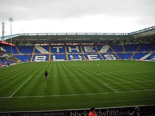 St Andrew's Landmark, Birmingham6 km NW
-
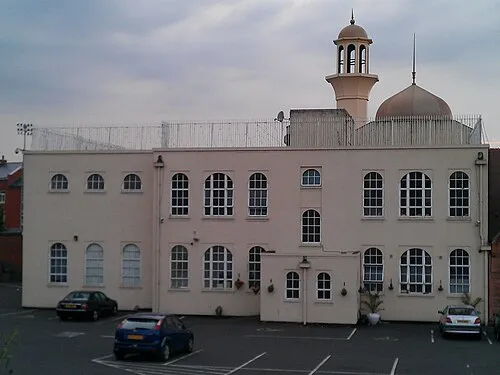 Darul Barakaat Mosque Attraction, Birmingham5.9 km NW
-
Kingshurst Hall Historic site, Kingshurst6.6 km NE
-
NEC Arena Landmark, Bickenhill6.1 km E
-
Birmingham NEC Museum, Bickenhill6.1 km E
Sources & licences
Data last updated: · 2 independent sources