Swaythling
Located in Southampton, England Coordinates: 50°56′12″ N 1°22′41″ W
- Population
- 13,664
- 13.7K
- Elevation
- 10 m
- above sea level
- Local time
- UTC+00:00
- Europe/London · UTC+00:00
About Swaythling
Swaythling is a neighbourhood. Location: Southampton, England. Population: 13,664.
Swaythling is a suburb and electoral ward of the city of Southampton in Hampshire, England. The ward has a population of 13,664. Swaythling is predominantly residential in character, and noted for its large student population due to its proximity to the University of Southampton main campus at Highfield. The university's Wessex Lane Halls and City Gateway housing facilities are located within the district.
Read more on Wikipedia Text: Wikipedia contributors · CC BY-SA 4.0 · shortened
At a glance
- Area
- 3 km²
Source: Wikidata
In comparison
- No. 6 of 6 places in Southampton by population
- Nearest larger town: Portswood, 1 km SW
- 18 sights and natural places within 10 km Silverlake Stadium, Bitterne
Nearby attractions & nature
Everything nearby-
 St Mary's Stadium Landmark, Southampton3.5 km S
-
Bassett Avenue Mountain, Southampton2.4 km NW
-
Bitterne Landmark, Southampton2.1 km S
-
Silverlake Stadium Landmark, Eastleigh District1.8 km N
-
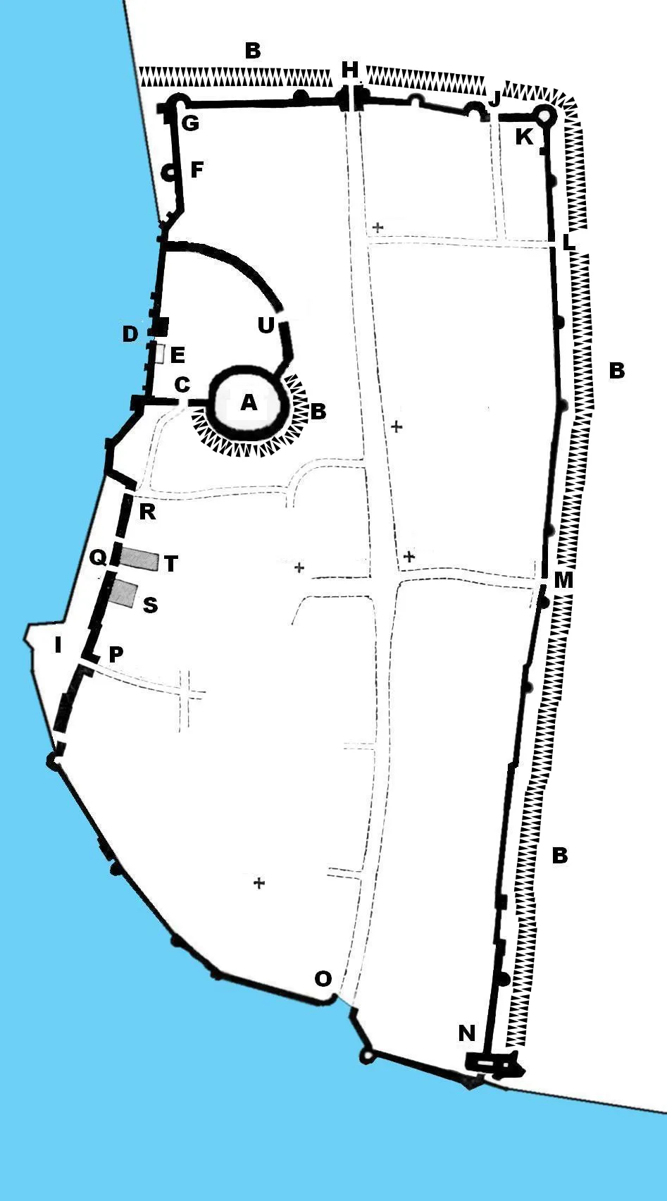 Southampton Castle Historic site, Southampton4.6 km SW
-
Harefield Mountain, West End3.4 km SE
Sources & licences
Data last updated: · 2 independent sources