Bold Heath
Located in Bold, St. Helens Coordinates: 53°23′50″ N 2°41′53″ W
- Elevation
- 32 m
- above sea level
- Local time
- UTC+00:00
- Europe/London · UTC+00:00
About Bold Heath
Bold Heath is a village. Location: Bold, St. Helens. Elevation: 32 m.
Bold is a civil parish in the Metropolitan Borough of St Helens in Merseyside, England. Bold itself is situated to the south east of St Helens, near to the boundaries with Halton and Warrington. The parish extends southwards beyond the M62 motorway and includes the hamlet of Bold Heath along with the Clock Face and New Bold areas of St Helens. Bold had a population of 3,577 at the 2021 census.
Read more on Wikipedia Text: Wikipedia contributors · CC BY-SA 4.0 · shortened
In comparison
- Nearest larger town: Great Sankey, 4 km E
- 9 sights and natural places within 10 km Wigg Island, Spike Island
Nearby attractions & nature
Everything nearby-
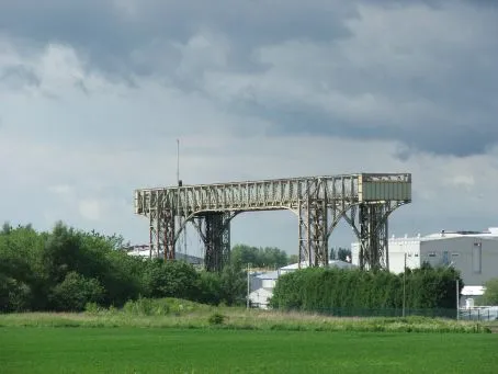 Warrington Transporter Bridge Landmark, Warrington6.2 km E
-
Wigg Island Island, Halton5.1 km S
-
Spike Island Island, Halton5.2 km SW
-
Hutchinson's Hill Mountain, Halton6.3 km SW
-
Halton Castle Mountain, Halton7.1 km S
-
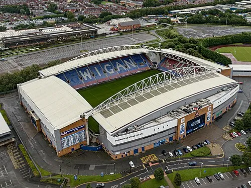 DW Stadium Landmark, Shevington17 km N
Sources & licences
Data last updated: · 2 independent sources