Bold
Located in St. Helens, England Coordinates: 53°24′48″ N 2°42′04″ W
- Elevation
- 36 m
- above sea level
- Local time
- UTC+00:00
- Europe/London · UTC+00:00
- Places inside
- 2
- listed under Bold
About Bold
Bold is a municipality. Location: St. Helens, England. Elevation: 36 m.
In comparison
- Nearest larger town: Burtonwood, 3 km NE
- 9 sights and natural places within 10 km Spike Island, Wigg Island
- Listed here: Village: 2
Places in Bold
2 places-
Bold Heath Village
-
Clock Face Village
Nearby attractions & nature
Everything nearby-
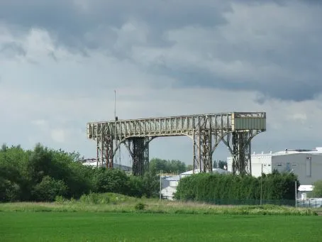 Warrington Transporter Bridge Landmark, Warrington7 km SE
-
Newton Le Willows Castle Hill Historic site, St. Helens8 km NE
-
Hutchinson's Hill Mountain, Halton7.8 km SW
-
Spike Island Island, Halton6.8 km S
-
Wigg Island Island, Halton6.9 km S
-
Hag Brow Mountain, Knowsley8.2 km NW
-
Halton Castle Mountain, Halton8.9 km S
-
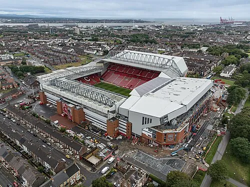 Anfield Landmark, Liverpool17 km W
Other cities and towns in St. Helens
-
Newton-le-Willows Town, St. Helens7.9 km NE
-
Haydock Town, St. Helens6.1 km N
-
Ashton in Makerfield Town, St. Helens8.5 km NE
-
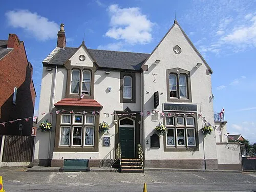 Garswood Town, Seneley Green8.6 km N
-
Rainhill Municipality, St. Helens3.8 km W
-
Eccleston Municipality, St. Helens6.7 km NW
Sources & licences
Data last updated: