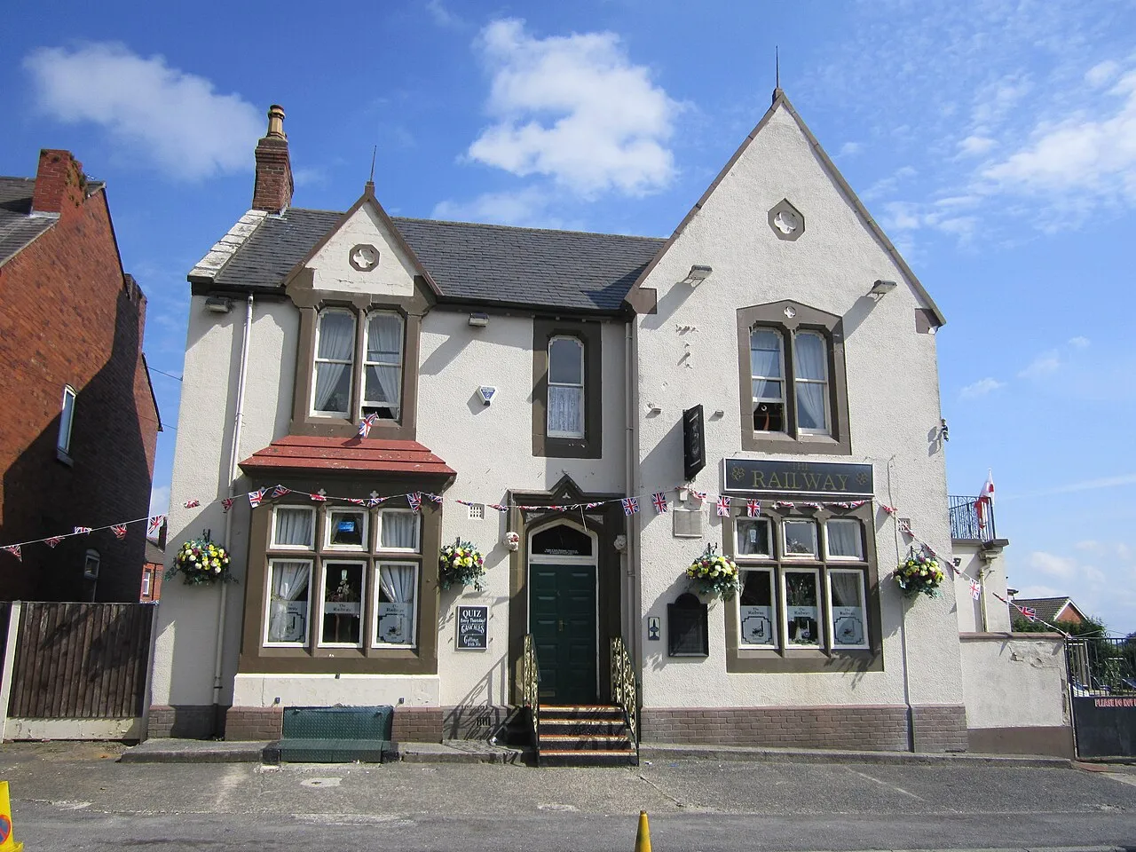
- Population
- 6,183
- 6.2K
- Elevation
- 76 m
- above sea level
- Local time
- UTC+00:00
- Europe/London · UTC+00:00
- Airports
- LPL Liverpool John Lennon Airport21 km
- MAN Manchester Airport30 km
About Garswood
Garswood is a town. Location: Seneley Green, St. Helens. Population: 6,183. Elevation: 76 m.
Garswood is a village in the Metropolitan Borough of St. Helens, Merseyside, England. The village is within the civil parish of Seneley Green. The parish was part of Ashton-in-Makerfield until the 1974 boundary changes.
Source: Wikipedia · CC BY-SA 4.0
Photos of Garswood
-

Rept0n1x · CC BY-SA 3.0 -

Rept0n1x · CC BY-SA 3.0 -

Paul Gaskell · CC BY-SA 3.0 -
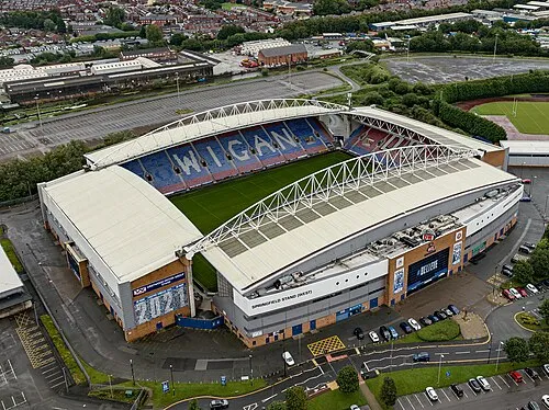
DW Stadium Arne Müseler · CC BY-SA 3.0 de


Climate of Garswood
Best months for sightseeingBest months for sightseeing: June–August.
This month · November
A cold month
Day 10° · Night 4° · Rain 89 mm
- Hottest month
- July (day 20°)
- Coldest month
- February (night 1°)
- Wettest month
- October (89 mm)
- Driest month
- February (50 mm)
Bars: average monthly low and high temperature. Below: precipitation. Monthly averages for 1970–2000 at about 18 km resolution, adjusted for elevation. Highlighted months are mild and relatively dry. Source: WorldClim 2.1 (CC BY 4.0).
Show values as a table
| Month | Jan | Feb | Mar | Apr | May | Jun | Jul | Aug | Sep | Oct | Nov | Dec |
|---|---|---|---|---|---|---|---|---|---|---|---|---|
| Average high (°C) | 7° | 7° | 9° | 12° | 16° | 18° | 20° | 20° | 17° | 14° | 10° | 8° |
| Average low (°C) | 1° | 1° | 3° | 4° | 7° | 10° | 12° | 12° | 10° | 7° | 4° | 2° |
| Precipitation (mm) | 72 | 50 | 63 | 53 | 53 | 62 | 58 | 74 | 77 | 89 | 89 | 83 |
How to get to Garswood
The nearest airport is Liverpool John Lennon Airport (LPL), 21 km to the southwest as the crow flies. The nearest large city is St Helens, 6 km to the southwest.
Airports
- Liverpool John Lennon Airport (LPL) Liverpool 21 kmsouthwest
- Manchester Airport (MAN) Manchester, Greater Manchester 30 kmsoutheast
- Leeds Bradford Airport (LBA) Leeds, West Yorkshire 79 kmnortheast
Nearby large cities
- St Helens Population: 183.2K 6 kmsouthwest
- Wigan Population: 175.4K 6 kmnorth
- Warrington Population: 172.3K 12 kmsoutheast
- Bolton Population: 141.3K 19 kmnortheast
- Liverpool Population: 496.8K 22 kmsouthwest
Straight-line distances; road distances are longer. Airport data: OurAirports.
Day trips from Garswood
Within 100 km: 661 historic and cultural sites, 1,602 natural sites, 233 lakes, rivers and coasts.
0–25 km93 places
- The Island Island 21 kmNE
- Goose Island Island 13 kmNW
- Wigg Island Island 15 kmS
- Spike Island Island 15 kmS
25–60 km621 places
- Thurstaston Beach Beach 36 kmSW
- Formby Beach Beach 29 kmW
- Ainsdale Beach Beach 29 kmNW
- St Anne's Beach Beach 37 kmNW
60–100 km1,782 places
- Great Britain Island 72 kmNE
- High Moor Mountain 87 kmN
- Roanhead Beach Beach 84 kmNW
- Tuft Rock Island 100 kmN
Straight-line distances.
Nearby attractions & nature
Everything nearby-
Billinge Hill Mountain, Billinge Chapel End3.6 km NW
-
DW Stadium Landmark, Shevington6.7 km N
-
Crank Hill Mountain, Rainford4.7 km W
-
Newton Le Willows Castle Hill Historic site, St. Helens5.2 km SE
-
Wigan Athletic FC Landmark, Wigan6.4 km N
-
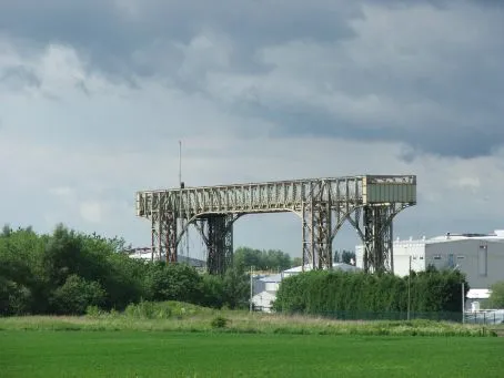 Warrington Transporter Bridge Landmark, Warrington12 km S
-
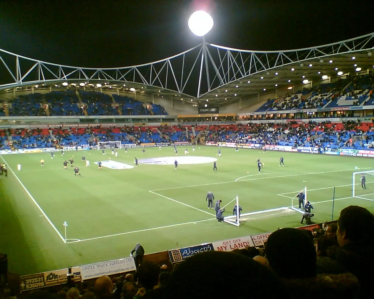 University of Bolton Stadium Landmark, Bolton14 km NE
-
Firs Park Natural site, Wigan9.1 km E
Sources & licences
Data last updated: · 2 independent sources