Hetton
Located in Sunderland, England Coordinates: 54°49′10″ N 1°27′31″ W
- Elevation
- 90 m
- above sea level
- Local time
- UTC+00:00
- Europe/London · UTC+00:00
- Places inside
- 13
- listed under Hetton
About Hetton
Hetton is a municipality. Location: Sunderland, England. Elevation: 90 m.
In comparison
- Nearest larger town: Hetton-Le-Hole, 1 km SE
- 24 sights and natural places within 10 km Cobbler's Hill, Houghton-le-Spring Rectory park
- Listed here: Village: 6, Neighbourhood: 5, Mountain: 1, Town: 1
Places in Hetton
13 places-
Hetton-Le-Hole Town14.4K
-
Easington Lane Village4K
-
East Rainton Village1.2K
-
Broom Hill Neighbourhood
-
Cobbler's Hill Mountain
-
Elemore Vale Village
-
Hetton Downs Neighbourhood
-
Hetton le Hill Village
-
High Moorsley Neighbourhood
-
Low Moorsley Village
-
Lyons Neighbourhood
-
New Herrington Village
-
Rainton Bridge Neighbourhood
Nearby attractions & nature
Everything nearby-
Houghton-le-Spring Rectory park Natural site, Sunderland2.8 km N
-
The Moors Mountain, Warden Law3.8 km N
-
Warden Law Mountain, Warden Law3.9 km NE
-
Lily Hill Mountain, Haswell4.1 km SE
-
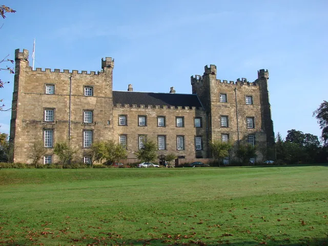 Lumley Castle Historic site, Little Lumley7.2 km NW
-
 Durham Cathedral Attraction, Durham9.1 km SW
-
Penshaw Hill Mountain, Sunderland7.2 km N
-
Ludworth Tower Landmark, Shadforth6 km S
Other cities and towns in Sunderland
-
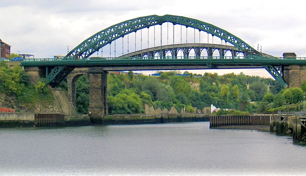 Sunderland City, Sunderland11 km NE
-
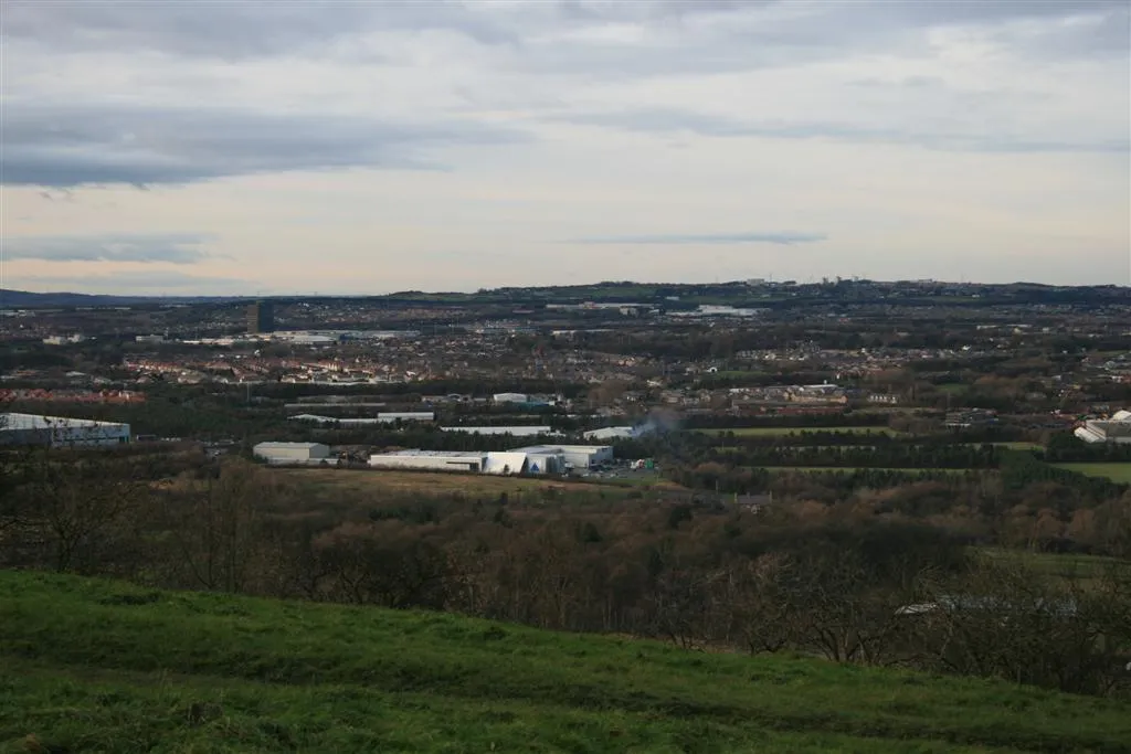 Washington Town, Sunderland9.7 km N
-
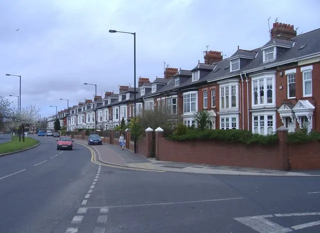 Ryhope Town, Sunderland8.1 km NE
-
Warden Law Municipality, Sunderland3.6 km NE
-
Burdon Municipality, Sunderland5.5 km NE
Sources & licences
Data last updated: