Ryhope
Located in Sunderland, England Coordinates: 54°52′17″ N 1°22′12″ W
- Population
- 14,000
- 14K
- Elevation
- 49 m
- above sea level
- Local time
- UTC+00:00
- Europe/London · UTC+00:00
About Ryhope
Ryhope is a town. Location: Sunderland, England. Population: 14,000. Elevation: 49 m.
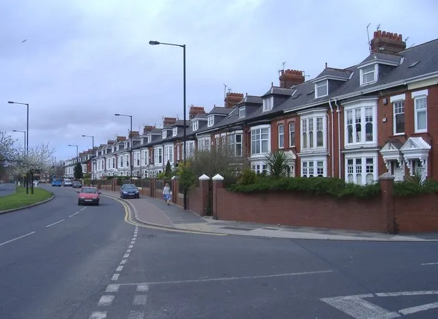
Ryhope ( RY-əp) is a coastal village along the southern boundary of the City of Sunderland, in Tyne and Wear, England. With a population of approximately 14,000, measured at 10.484 in the 2011 census, Ryhope is 2.9 miles to the centre of Sunderland, 2.8 miles to the centre of Seaham, and 1.2 miles from the main A19. The older village section is centred on a triangular 'green', which contains a war monument.
Read more on Wikipedia Text: Wikipedia contributors · CC BY-SA 4.0 · shortened
In comparison
- No. 4 of 7 places in Sunderland by population
- Nearest larger town: Sunderland, 4 km N
- 17 sights and natural places within 10 km Tunstall Hills, Warden Law
Nearby attractions & nature
Everything nearby-
Tunstall Hills Mountain, Sunderland1.9 km NW
-
River Wear River, England5.2 km N
-
Dalden Tower Landmark, Seaham4.6 km S
-
Stadium Of Light Landmark, Burdon4.9 km N
-
Warden Law Mountain, Warden Law4.4 km SW
-
The Moors Mountain, Warden Law4.8 km SW
-
Beacon Hill Mountain, Easington Colliery8.5 km SE
-
Hawthorn Hive Natural site, England8.7 km SE
Other cities and towns in Sunderland
-
 Washington Town, Sunderland9.9 km W
-
Houghton-Le-Spring Town, Sunderland7 km SW
-
Warden Law Municipality, Sunderland4.6 km SW
-
Hetton-Le-Hole Town, Hetton8 km SW
-
Hetton Municipality, Sunderland8.1 km SW
Sources & licences
Data last updated: · 2 independent sources