Thorpe Audlin
Located in Wakefield, England Coordinates: 53°38′15″ N 1°16′21″ W
- Elevation
- 40 m
- above sea level
- Local time
- UTC+00:00
- Europe/London · UTC+00:00
- Places inside
- 2
- listed under Thorpe Audlin
About Thorpe Audlin
Thorpe Audlin is a municipality. Location: Wakefield, England. Elevation: 40 m.
In comparison
- Nearest larger town: Badsworth, 2 km SW
- 14 sights and natural places within 10 km Upton Beacon, Hampole Priory
- Listed here: Neighbourhood: 1, Village: 1
Places in Thorpe Audlin
2 places-
Thorpe Audlin Village
-
Thorpe Gate Estate Neighbourhood
Nearby attractions & nature
Everything nearby-
Upton Beacon Mountain, Upton2.1 km SW
-
 Pontefract Castle Historic site, Wakefield6.7 km N
-
Kings Mead Mountain, Wakefield6.5 km NW
-
Hampole Castle Hill Historic site, Hampole6.3 km SE
-
Hampole Priory Historic site, Hampole6 km SE
-
Prince of Wales Colliery Tip Mountain, Wakefield7.8 km N
-
Skellow Historic site, Doncaster7.3 km SE
-
Glasshoughton Colliery Tip Mountain, Wakefield9.2 km NW
Other cities and towns in Wakefield
-
 Pontefract Town, Wakefield6.5 km NW
-
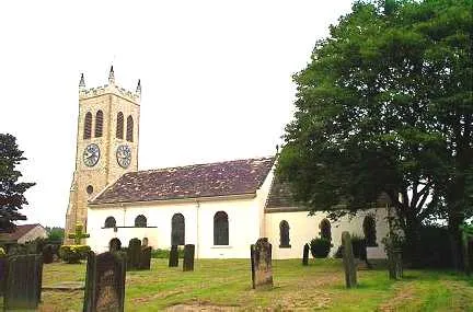 Knottingley Town, Wakefield7.9 km N
-
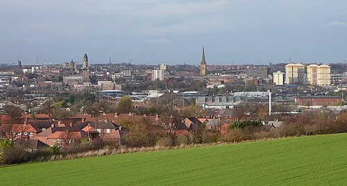 Wakefield City, Wakefield16 km W
-
Castleford Town, Wakefield11 km NW
-
Ackworth Municipality, Wakefield3.7 km NW
-
Badsworth Municipality, Wakefield2.3 km W
Sources & licences
Data last updated: