Maidenhead
Located in Windsor and Maidenhead, England Coordinates: 51°31′22″ N 0°43′11″ W
- Population
- 70,374
- 70.4K
- Elevation
- 32 m
- above sea level
- Local time
- UTC+00:00
- Europe/London · UTC+00:00
About Maidenhead
Maidenhead is a city. Location: Windsor and Maidenhead, England. Population: 70,374. Elevation: 32 m.
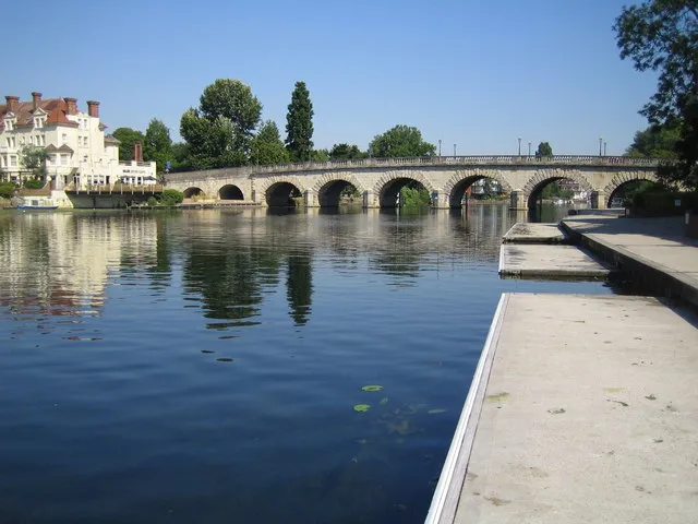
Maidenhead is a market town in the Royal Borough of Windsor and Maidenhead in the county of Berkshire, England. It lies on the southwestern bank of the River Thames, which at this point forms the border with Buckinghamshire. In the 2021 Census, the Maidenhead built-up area had a population of 67,375. The town is 27 miles (43 km) west of Charing Cross, London and 13 miles (21 km) east-northeast of Reading.
Read more on Wikipedia Text: Wikipedia contributors · CC BY-SA 4.0 · shortened
In comparison
- Most populous of 4 places in Windsor and Maidenhead
- Nearest larger town: Slough, 9 km E
- 35 sights and natural places within 10 km Bridge Eyot, Grass Eyot
Nearby attractions & nature
Everything nearby-
Bridge Eyot Island, Windsor and Maidenhead1.3 km E
-
Grass Eyot Island, Windsor and Maidenhead1.5 km NE
-
Ray Mill Island Island, Windsor and Maidenhead2 km NE
-
Boulter's Island Island, Windsor and Maidenhead2 km NE
-
The Mill Island Island, Taplow1.6 km NE
-
Glen Island Island, Taplow1.8 km NE
-
Headpile Eyot Island, Bray2.3 km SE
-
Pigeonhill Eyot Island, Bray2.8 km SE
Sources & licences
Data last updated: · 2 independent sources