Ray Mill Island
Located in Windsor and Maidenhead, England Coordinates: 51°32′06″ N 0°41′55″ W
- Elevation
- 27 m
- above sea level
- Local time
- UTC+00:00
- Europe/London · UTC+00:00
- Airports
- LHR London Heathrow Airport18 km
- LTN London Luton Airport44 km
About Ray Mill Island
Ray Mill Island is an island. Location: Windsor and Maidenhead, England. The best months to visit are June–August. The nearest airport is London Heathrow Airport (18 km). Nearby sights include Boulter's Island and Glen Island.
Photos of Ray Mill Island
-
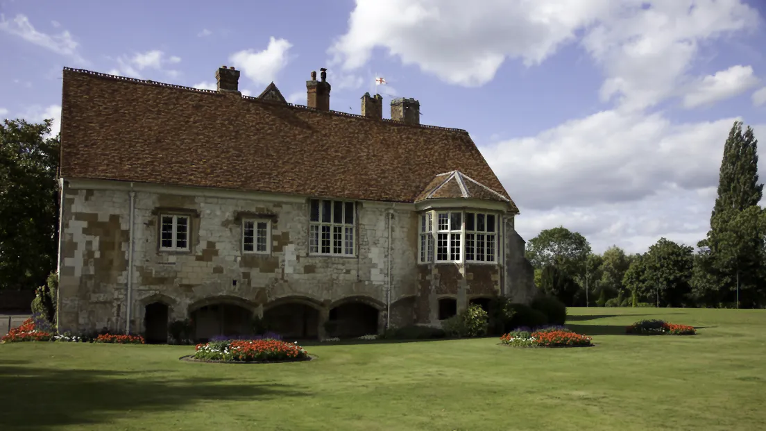
Bisham Abbey Author: Antony McCallum · CC BY-SA 3.0

Climate of Ray Mill Island
Best months for sightseeingBest months for sightseeing: June–August.
This month · November
A cold month
Day 10° · Night 4° · Rain 66 mm
- Hottest month
- July (day 23°)
- Coldest month
- February (night 2°)
- Wettest month
- December (69 mm)
- Driest month
- July (41 mm)
Bars: average monthly low and high temperature. Below: precipitation. Monthly averages for 1970–2000 at about 18 km resolution, adjusted for elevation. Highlighted months are mild and relatively dry. Source: WorldClim 2.1 (CC BY 4.0).
Show values as a table
| Month | Jan | Feb | Mar | Apr | May | Jun | Jul | Aug | Sep | Oct | Nov | Dec |
|---|---|---|---|---|---|---|---|---|---|---|---|---|
| Average high (°C) | 8° | 8° | 11° | 13° | 17° | 20° | 23° | 22° | 19° | 15° | 10° | 8° |
| Average low (°C) | 2° | 2° | 3° | 4° | 8° | 11° | 13° | 12° | 10° | 7° | 4° | 3° |
| Precipitation (mm) | 65 | 46 | 53 | 49 | 54 | 55 | 41 | 55 | 61 | 67 | 66 | 69 |
How to get to Ray Mill Island
The nearest airport is London Heathrow Airport (LHR), 18 km to the southeast as the crow flies. The nearest large city is Slough, 8 km to the east.
Airports
- London Heathrow Airport (LHR) London 18 kmsoutheast
- London Luton Airport (LTN) Luton, Luton 44 kmnortheast
- London City Airport (LCY) London 52 kmeast
Nearby large cities
- Slough Population: 164.8K 8 kmeast
- High Wycombe Population: 133.2K 11 kmnorth
- Reading Population: 318K 21 kmsouthwest
- Watford Population: 125.7K 25 kmnortheast
- Harrow Population: 149.2K 26 kmeast
Straight-line distances; road distances are longer. Airport data: OurAirports.
Day trips from Ray Mill Island
Within 100 km: 890 historic and cultural sites, 701 natural sites, 298 lakes, rivers and coasts.
0–25 km162 places
- The Lynch Island 14 kmW
- Holm Island Island 16 kmSE
- Windsor Racecourse Island Island 6 kmSE
- Wargrave Island Island 12 kmW
25–60 km854 places
- White Hart Lane Landmark 44 kmE
- Sunbury Court Island 25 kmSE
- Rivermead Island 25 kmSE
- Lot's Ait Island 28 kmE
60–100 km873 places
- Portsea Island Natural site 86 kmS
- Spotlites @ Kings Theatre Attraction 87 kmE
- St Nicholas Church Shoreham Attraction 82 kmS
- The Marlipins Museum Museum 84 kmS
Straight-line distances.
Nearest towns and villages
-
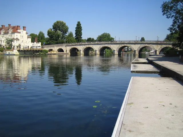 Maidenhead City, Windsor and Maidenhead2 km SW
-
Furze Platt Town, Windsor and Maidenhead2.7 km W
-
Taplow Village, Taplow0.8 km E
-
Cookham Town, Cookham2.8 km N
-
Pinkneys Green Town, Windsor and Maidenhead4.3 km W
-
Burnham Town, Burnham2.3 km E
Nearby attractions & nature
Everything nearby-
Boulter's Island Island, Windsor and Maidenhead0.1 km N
-
Glen Island Island, Taplow0.4 km S
-
The Mill Island Island, Taplow0.6 km S
-
Grass Eyot Island, Windsor and Maidenhead0.7 km S
-
Bridge Eyot Island, Windsor and Maidenhead1 km S
-
Slow Grove Island, Cookham1.5 km N
-
Headpile Eyot Island, Bray2.8 km S
-
Pigeonhill Eyot Island, Bray3.1 km S
Sources & licences
Data last updated: