Rock Ferry
Located in Wirral, England Coordinates: 53°22′09″ N 3°00′15″ W
- Population
- 14,298
- 14.3K
- Elevation
- 21 m
- above sea level
- Local time
- UTC+00:00
- Europe/London · UTC+00:00
About Rock Ferry
Rock Ferry is a village. Location: Wirral, England. Population: 14,298. Elevation: 21 m.
Rock Ferry is an area of Birkenhead on the Wirral Peninsula, England. Administratively it is a ward of the Metropolitan Borough of Wirral. Before local government reorganisation on 1 April 1974, it was part of the county of Cheshire. At the 2011 census, the population was 14,298.
Read more on Wikipedia Text: Wikipedia contributors · CC BY-SA 4.0 · shortened
In comparison
- No. 10 of 21 places in Wirral by population
- Nearest larger town: Bebington, 2 km S
- 30 sights and natural places within 10 km Prenton Park, Prenton Hill
Nearby attractions & nature
Everything nearby-
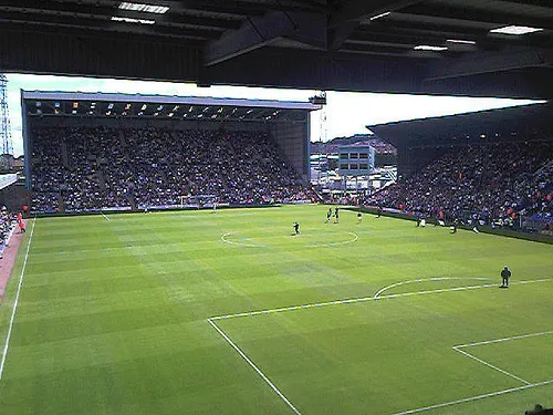 Prenton Park Landmark, Wirral1.9 km W
-
Prenton Hill Mountain, Wirral2.3 km W
-
Bebington Mediumwave Transmitter Landmark, Wirral3.1 km SE
-
Echo Arena Liverpool Landmark, Liverpool3.3 km N
-
Sefton Park Natural site, England5 km E
-
Liverpool Landmark, Liverpool4.2 km N
Sources & licences
Data last updated: · 2 independent sources