- Population
- 770
- 770
- Elevation
- 53 m
- above sea level
- Local time
- UTC+00:00
- Europe/London · UTC+00:00
- Airports
- LPL Liverpool John Lennon Airport13 km
- MAN Manchester Airport51 km
About Thornton Hough
Thornton Hough is a village. Location: Wirral, England. Population: 770. Elevation: 53 m.
Thornton Hough () is a village in the Wirral district of Merseyside, England. The village lies in the more rural inland part of the Wirral Peninsula and is of pre-Norman Conquest origins. The village grew during the ownership of Joseph Hirst into a small model village and was later acquired by William Lever, founder of Lever Brothers, the predecessor of Unilever. Thornton Hough is roughly 10 miles (16 km) from Liverpool and 12 miles (19 km) from Chester.
Source: Wikipedia · CC BY-SA 4.0
Climate of Thornton Hough
Best months for sightseeingBest months for sightseeing: June–August.
This month · November
A cold month
Day 10° · Night 4° · Rain 76 mm
- Hottest month
- July (day 20°)
- Coldest month
- February (night 1°)
- Wettest month
- November (76 mm)
- Driest month
- February (45 mm)
Bars: average monthly low and high temperature. Below: precipitation. Monthly averages for 1970–2000 at about 18 km resolution, adjusted for elevation. Highlighted months are mild and relatively dry. Source: WorldClim 2.1 (CC BY 4.0).
Show values as a table
| Month | Jan | Feb | Mar | Apr | May | Jun | Jul | Aug | Sep | Oct | Nov | Dec |
|---|---|---|---|---|---|---|---|---|---|---|---|---|
| Average high (°C) | 7° | 7° | 9° | 12° | 15° | 18° | 20° | 20° | 17° | 14° | 10° | 8° |
| Average low (°C) | 1° | 1° | 3° | 4° | 6° | 9° | 12° | 11° | 9° | 7° | 4° | 2° |
| Precipitation (mm) | 61 | 45 | 57 | 48 | 48 | 56 | 49 | 64 | 69 | 74 | 76 | 69 |
How to get to Thornton Hough
The nearest airport is Liverpool John Lennon Airport (LPL), 13 km to the east as the crow flies. The nearest large city is Birkenhead, 8 km to the north.
Airports
- Liverpool John Lennon Airport (LPL) Liverpool 13 kmeast
- Manchester Airport (MAN) Manchester, Greater Manchester 51 kmeast
- Leeds Bradford Airport (LBA) Leeds, West Yorkshire 110 kmnortheast
Nearby large cities
- Birkenhead Population: 325.3K 8 kmnorth
- Liverpool Population: 496.8K 11 kmnortheast
- St Helens Population: 183.2K 25 kmnortheast
- Warrington Population: 172.3K 32 kmeast
- Wigan Population: 175.4K 37 kmnortheast
Straight-line distances; road distances are longer. Airport data: OurAirports.
Nearby attractions & nature
Everything nearby-
Wirral Peninsula Natural site, England2.9 km NW
-
Poll Hill Mountain, Wirral4.1 km W
-
Bebington Mediumwave Transmitter Landmark, Wirral5.5 km NE
-
Prenton Hill Mountain, Wirral5.1 km N
-
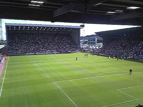 Prenton Park Landmark, Wirral5.9 km N
-
Thurstaston Beach Beach, Wirral6.8 km W
Sources & licences
Data last updated: · 2 independent sources