New Ferry
Located in Wirral, England Coordinates: 53°21′38″ N 2°59′38″ W
- Population
- 5,300
- 5.3K
- Elevation
- 24 m
- above sea level
- Local time
- UTC+00:00
- Europe/London · UTC+00:00
About New Ferry
New Ferry is a neighbourhood. Location: Wirral, England. Population: 5,300.
New Ferry is an urban area on the Metropolitan Borough of Wirral, Merseyside, England. It is located on the Wirral Peninsula, with the River Mersey to the east, the town of Bebington to the west, Bromborough to the south and Rock Ferry to the north. Within the boundaries of the historic county of Cheshire, the area was developed from the early nineteenth century. The 2001 census measured the population at 5,300.
Read more on Wikipedia Text: Wikipedia contributors · CC BY-SA 4.0 · shortened
In comparison
- No. 15 of 21 places in Wirral by population
- Nearest larger town: Rock Ferry, 1 km NW
- 26 sights and natural places within 10 km Bebington Mediumwave Transmitter, Prenton Park
Nearby attractions & nature
Everything nearby-
Bebington Mediumwave Transmitter Landmark, Wirral1.9 km SE
-
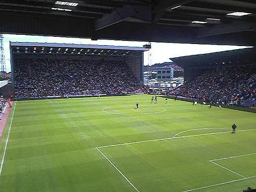 Prenton Park Landmark, Wirral3 km NW
-
Prenton Hill Mountain, Wirral3.1 km W
-
Sefton Park Natural site, England4.8 km NE
-
Echo Arena Liverpool Landmark, Liverpool4.1 km N
-
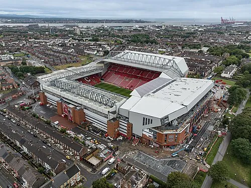 Anfield Landmark, Liverpool8.1 km N
Sources & licences
Data last updated: · 2 independent sources