Frankby
Located in Wirral, England Coordinates: 53°22′21″ N 3°08′13″ W
- Population
- 310
- 310
- Elevation
- 31 m
- above sea level
- Local time
- UTC+00:00
- Europe/London · UTC+00:00
About Frankby
Frankby is a village. Location: Wirral, England. Population: 310. Elevation: 31 m.
Frankby (locally ) is a village and former civil parish, in the Wirral district, in Merseyside, England. It is located on the Wirral Peninsula between Greasby and Newton on the outskirts of the town of West Kirby and south of Hoylake. The hamlet of Larton is to the north west. Historically within the county of Cheshire, it is part of the Greasby, Frankby and Irby Ward and is in the parliamentary constituency of Wirral West.
Read more on Wikipedia Text: Wikipedia contributors · CC BY-SA 4.0 · shortened
In comparison
- No. 19 of 21 places in Wirral by population
- Nearest larger town: Greasby, 1 km E
- 16 sights and natural places within 10 km Paton Field, Caldy Hill
Nearby attractions & nature
Everything nearby-
Paton Field Landmark, Wirral1.5 km S
-
Caldy Hill Mountain, Wirral2.3 km SW
-
River Dee River, Wirral4 km SW
-
Thurstaston Beach Beach, Wirral3.9 km S
-
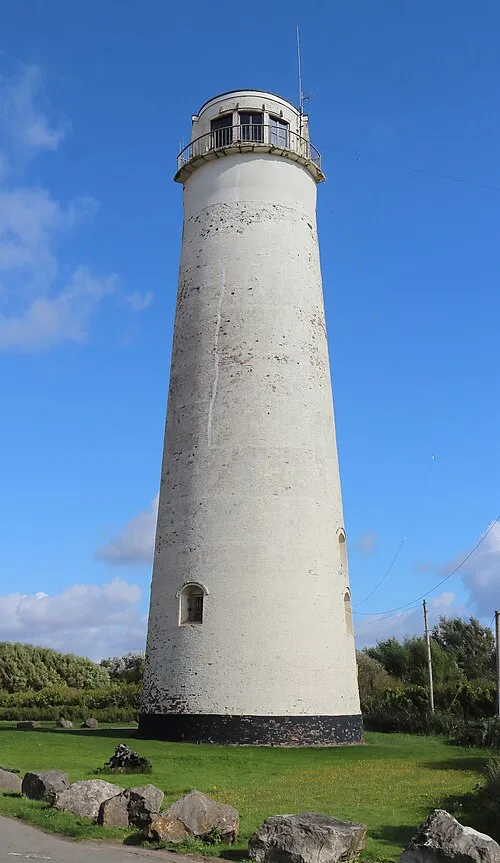 Leasowe Lighthouse Landmark, Wirral4.6 km N
-
Wirral Peninsula Natural site, England5.6 km SE
Sources & licences
Data last updated: · 2 independent sources