Aros River
Located in Argyll and Bute, Scotland Coordinates: 56°31′00″ N 5°58′00″ W
- Elevation
- 153 m
- above sea level
- Local time
- UTC+00:00
- Europe/London · UTC+00:00
About Aros River
Aros River is a river. Location: Argyll and Bute, Scotland.
In comparison
- 50 sights and natural places within 10 km Braigh a' Choire Mhoir, Salen Bay
Nearest towns and villages
-
Salen Village, Argyll and Bute1.2 km E
-
Aros Village, Argyll and Bute1.5 km E
-
Gruline Village, Argyll and Bute3.3 km SW
-
Killichronan Village, Argyll and Bute3 km SW
-
Glen Forsa Village, Argyll and Bute3.9 km E
-
Pennygown Village, Argyll and Bute4.5 km SE
Nearby attractions & nature
Everything nearby-
Braigh a' Choire Mhoir Mountain, Argyll and Bute0.1 km NW
-
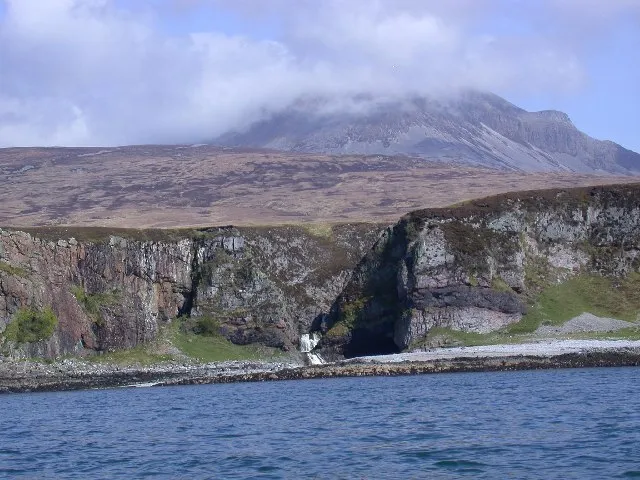 Inner Hebrides Island, Argyll and Bute2.8 km SW
-
Creag Mhor Mountain, Argyll and Bute1.3 km W
-
Salen Bay Natural site, Scotland1.2 km NE
-
Cnoc Maol Mhucaig Mountain, Argyll and Bute1.9 km E
-
Tur Mor Mountain, Argyll and Bute2.6 km N
-
River Bà River, Argyll and Bute2.8 km SW
-
Cruach Torr an Lochain Mountain, Argyll and Bute2.9 km S
Sources & licences
Data last updated: