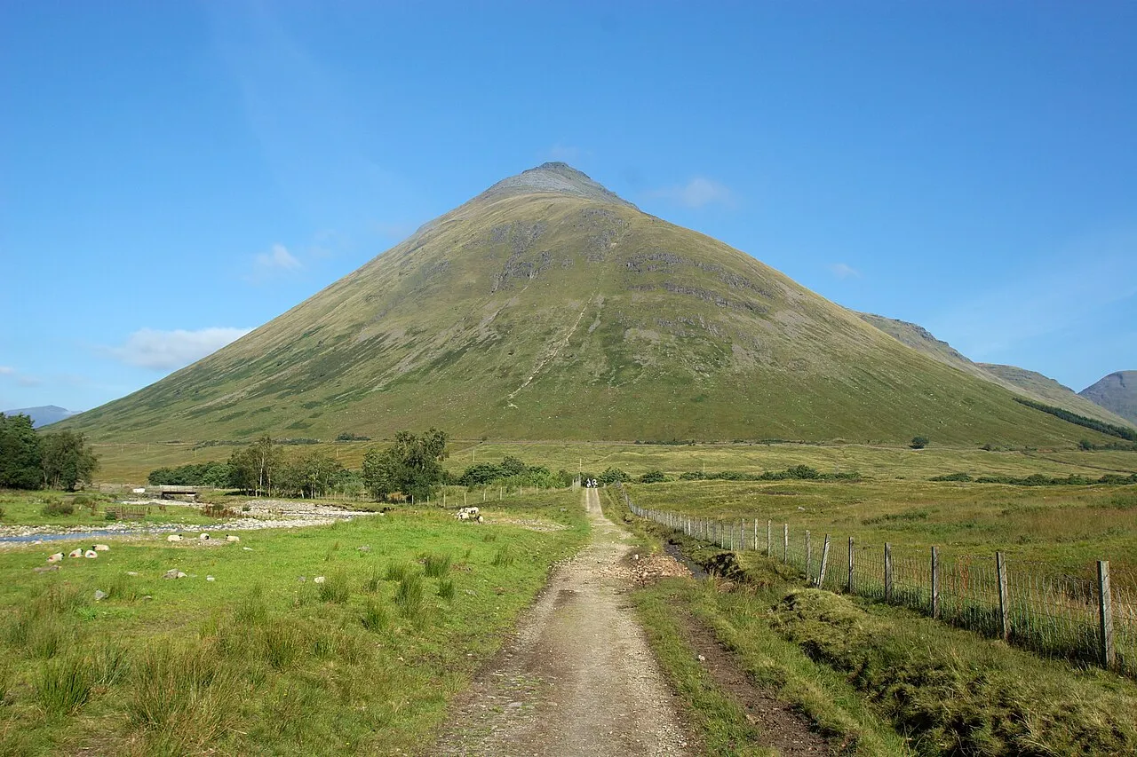
- Elevation
- 1,076 m
- above sea level
- Local time
- UTC+00:00
- Europe/London · UTC+00:00
- Airports
- GLA Glasgow Airport73 km
- EDI Edinburgh Airport104 km
About Beinn Dorain
Beinn Dorain is a mountain. Location: Argyll and Bute, Scotland. Elevation: 1,076 m.
Beinn Dorain (Scottish Gaelic: Beinn Dobhrain, 'hill of the otter'), is a mountain in the Breadalbane region of the Scottish Highlands. It overlooks Bridge of Orchy in Argyll. It is a Munro with a height of 1,076 metres (3,530 ft). The mountain is the subject of Duncan Ban MacIntyre's best known Gaelic poem, Moladh Beinn Dòbhrainn (English: "In Praise of Ben Doran"); MacIntyre had spent his youth and had worked as a gamekeeper in these parts.
Source: Wikipedia · CC BY-SA 4.0
At a glance
- Topographic prominence
- 323 m
Source: Wikidata
Photos of Beinn Dorain
-

Michal Klajban · CC BY-SA 4.0 -

Peter S · CC BY-SA 2.0 -

Michal Klajban · CC BY-SA 4.0 -

Liam Drew · CC BY-SA 2.0 -

Michael Day · CC BY 2.0


Climate of Beinn Dorain
This month · November
A wet month
Day 2° · Night -3° · Rain 238 mm
- Hottest month
- July (day 11°)
- Coldest month
- February (night -5°)
- Wettest month
- January (271 mm)
- Driest month
- June (105 mm)
Bars: average monthly low and high temperature. Below: precipitation. Monthly averages for 1970–2000 at about 18 km resolution, adjusted for elevation. Highlighted months are mild and relatively dry. Source: WorldClim 2.1 (CC BY 4.0).
Show values as a table
| Month | Jan | Feb | Mar | Apr | May | Jun | Jul | Aug | Sep | Oct | Nov | Dec |
|---|---|---|---|---|---|---|---|---|---|---|---|---|
| Average high (°C) | -1° | 0° | 1° | 4° | 8° | 10° | 11° | 11° | 9° | 5° | 2° | 0° |
| Average low (°C) | -5° | -5° | -4° | -3° | 0° | 3° | 5° | 4° | 3° | 0° | -3° | -5° |
| Precipitation (mm) | 271 | 175 | 197 | 111 | 110 | 105 | 120 | 143 | 201 | 233 | 238 | 247 |
How to get to Beinn Dorain
The nearest airport is Glasgow Airport (GLA), 73 km to the south as the crow flies. The nearest large city is Glasgow, 77 km to the south.
Airports
- Glasgow Airport (GLA) Glasgow 73 kmsouth
- Edinburgh Airport (EDI) Ingliston, Edinburgh 104 kmsoutheast
- Dundee Airport (DND) Dundee 105 kmeast
Nearby large cities
- Glasgow Population: 626.4K 77 kmsouth
- Dundee Population: 148.2K 108 kmeast
- Edinburgh Population: 515K 113 kmsoutheast
- Aberdeen Population: 198.6K 175 kmnortheast
- Belfast Population: 348K 225 kmsouth
Straight-line distances; road distances are longer. Airport data: OurAirports.
Day trips from Beinn Dorain
Within 100 km: 125 historic and cultural sites, 4,644 natural sites, 1,287 lakes, rivers and coasts.
0–25 km399 places
- Fraoch Eilean Island 24 kmSW
- Eilean Molach Island 13 kmN
- Eilean na Feusaige Island 20 kmSW
- Eilean na h-Iolaire Island 13 kmN
25–60 km1,982 places
- Eriska Island 43 kmW
- Shuna Island Island 42 kmW
- Lismore Island Island 51 kmW
- Kerrera Island 54 kmW
60–100 km3,675 places
- Great Cumbrae Island Island 83 kmS
- Eigg Island 99 kmNW
- Hunterston Sands Beach 87 kmS
- Scarba Island 71 kmSW
Straight-line distances.
Nearest towns and villages
-
Bridge of Orchy Village, Argyll and Bute3.1 km NW
-
Auch Village, Argyll and Bute2.4 km S
-
Achallader Village, Argyll and Bute6.4 km N
-
Black Mount Village, Argyll and Bute6.5 km NW
-
Forest Lodge Village, Argyll and Bute7.2 km NW
-
Clifton Village, Stirling7.1 km S
Nearby attractions & nature
Everything nearby-
Beinn Dorain North Top Mountain, Argyll and Bute0.4 km N
-
Beinn a' Chaisteil Mountain, Perth and Kinross2.6 km SE
-
Beinn an Dothaidh Mountain, Argyll and Bute3.1 km N
-
Beinn an Dothaidh West Top Mountain, Argyll and Bute3.1 km N
-
Beinn nam Fuaran Mountain, Argyll and Bute3.6 km E
-
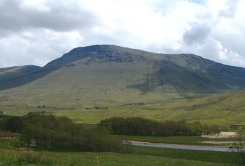 Beinn Achaladair Mountain, Perth and Kinross5.7 km N
-
Allt Kinglas River, Argyll and Bute2.1 km S
-
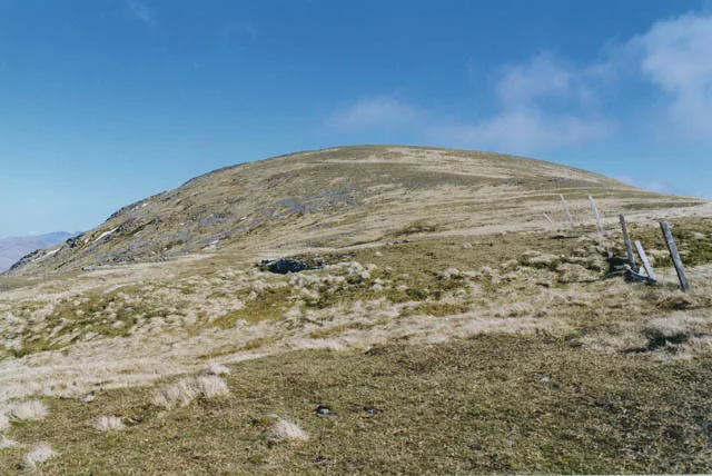 Beinn Mhanach Mountain, Perth and Kinross5.8 km NE
More nature in United Kingdom
-
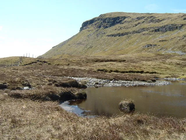 Beinn Udlaidh Mountain, Argyll and Bute6.4 km SW
-
Beinn Bhreac-liath Mountain, Argyll and Bute4.5 km SW
-
Beinn a' Chuirn Mountain, Argyll and Bute4.6 km NE
-
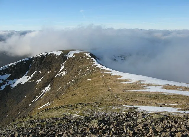 Stob Ghabhar Mountain, Argyll and Bute12 km NW
-
Ben Inverveigh Mountain, Argyll and Bute5.4 km W
-
Beinn Bheag Mountain, Argyll and Bute5.4 km S
Sources & licences
Data last updated: · 2 independent sources