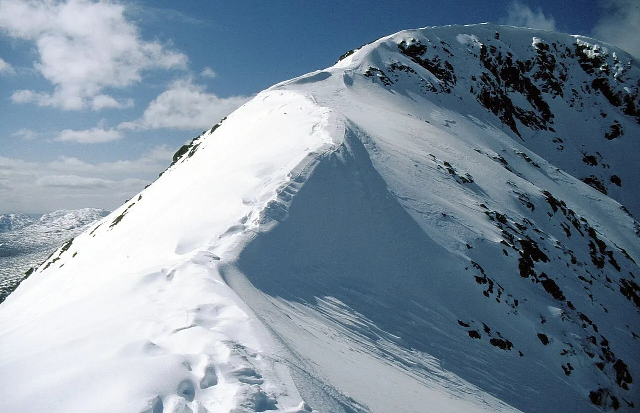
- Elevation
- 959 m
- above sea level
- Local time
- UTC+00:00
- Europe/London · UTC+00:00
- Airports
- GLA Glasgow Airport91 km
- TRE Tiree Airport109 km
About Beinn Fhionnlaidh
Beinn Fhionnlaidh is a mountain. Location: Argyll and Bute, Scotland. Elevation: 959 m.
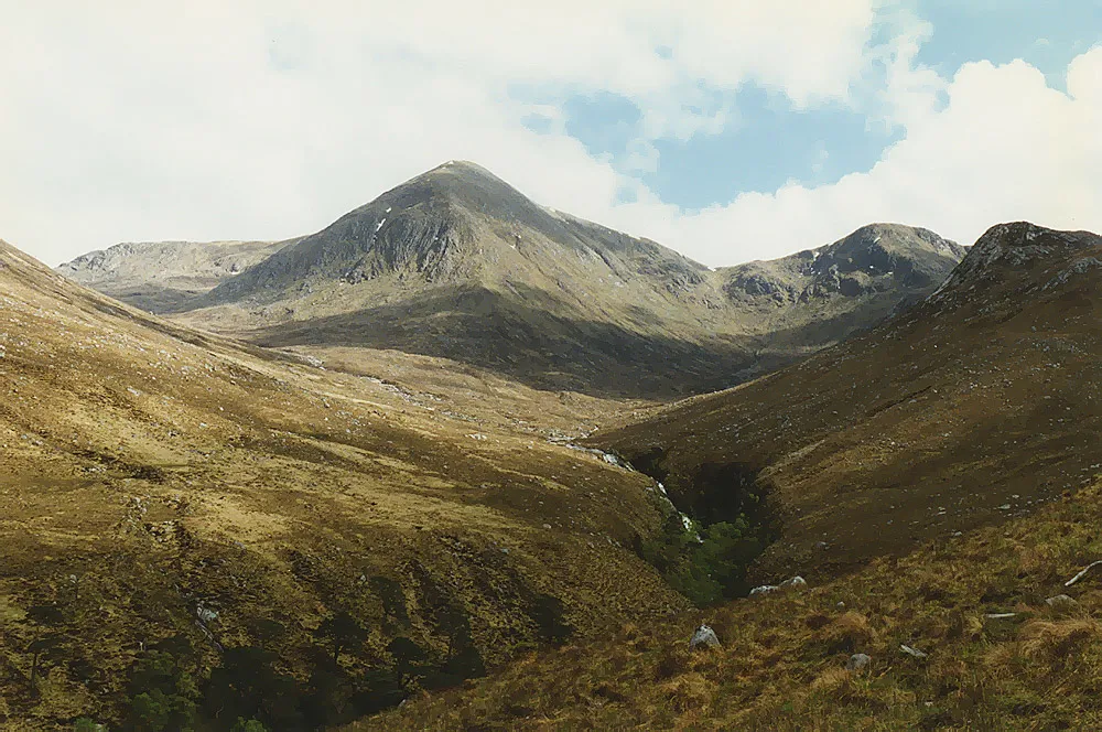
Beinn Fhionnlaidh is a mountain in the West Highlands of Scotland. It is situated between Glen Etive and Glen Creran, to the south of Glen Coe.
Source: Wikipedia · CC BY-SA 4.0
At a glance
- Topographic prominence
- 510 m
Source: Wikidata
Photos of Beinn Fhionnlaidh
-

Hugh Venables · CC BY-SA 2.0 -

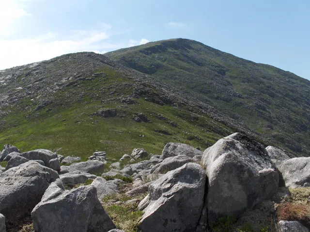
Hugh Venables · CC BY-SA 2.0 -
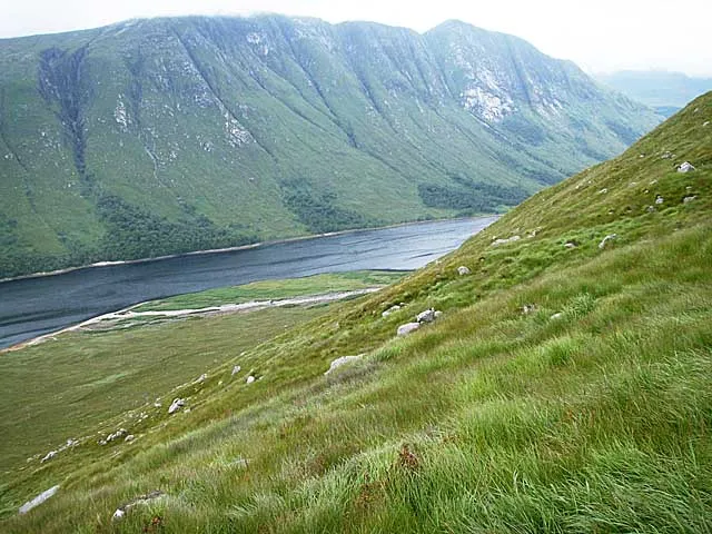
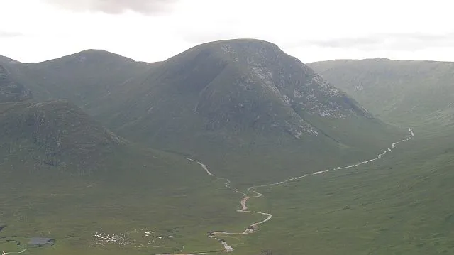
Beinn Trilleachan wrobison · CC BY-SA 2.0 -
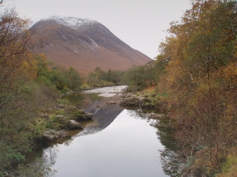
Ben Starav low cloud · CC BY 2.0 -
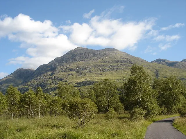
Beinn Sgulaird Paul Birrell · CC BY-SA 2.0


Climate of Beinn Fhionnlaidh
This month · November
A wet month
Day 3° · Night -2° · Rain 255 mm
- Hottest month
- July (day 12°)
- Coldest month
- January (night -4°)
- Wettest month
- January (277 mm)
- Driest month
- May (111 mm)
Bars: average monthly low and high temperature. Below: precipitation. Monthly averages for 1970–2000 at about 18 km resolution, adjusted for elevation. Highlighted months are mild and relatively dry. Source: WorldClim 2.1 (CC BY 4.0).
Show values as a table
| Month | Jan | Feb | Mar | Apr | May | Jun | Jul | Aug | Sep | Oct | Nov | Dec |
|---|---|---|---|---|---|---|---|---|---|---|---|---|
| Average high (°C) | 1° | 1° | 2° | 5° | 9° | 11° | 12° | 12° | 9° | 6° | 3° | 1° |
| Average low (°C) | -4° | -4° | -3° | -2° | 1° | 4° | 6° | 6° | 4° | 1° | -2° | -3° |
| Precipitation (mm) | 277 | 181 | 215 | 122 | 111 | 113 | 132 | 157 | 216 | 246 | 255 | 262 |
How to get to Beinn Fhionnlaidh
The nearest airport is Glasgow Airport (GLA), 91 km to the southeast as the crow flies. The nearest large city is Glasgow, 97 km to the southeast.
Airports
- Glasgow Airport (GLA) Glasgow 91 kmsoutheast
- Tiree Airport (TRE) Balemartine, Argyll and Bute 109 kmwest
- Inverness Airport (INV) Inverness, Highland 123 kmnortheast
Nearby large cities
- Glasgow Population: 626.4K 97 kmsoutheast
- Dundee Population: 148.2K 132 kmeast
- Edinburgh Population: 515K 138 kmsoutheast
- Aberdeen Population: 198.6K 193 kmeast
- Belfast Population: 348K 229 kmsouth
Straight-line distances; road distances are longer. Airport data: OurAirports.
Day trips from Beinn Fhionnlaidh
Within 100 km: 85 historic and cultural sites, 4,607 natural sites, 1,380 lakes, rivers and coasts.
0–25 km458 places
- Eriska Island 20 kmW
- Shuna Island Island 18 kmW
- Fraoch Eilean Island 24 kmS
- Eilean nan Caorach Island 20 kmW
25–60 km2,223 places
- Scarba Island 60 kmSW
- Oronsay Island 51 kmW
- Torsa Island Island 50 kmSW
- Shuna Island 53 kmSW
60–100 km3,391 places
- Great Cumbrae Island Island 93 kmS
- Colonsay Island 91 kmSW
- Eigg Island 73 kmNW
- Hunterston Sands Beach 98 kmS
Straight-line distances.
Nearest towns and villages
-
 Ballachulish Village, Highland8.6 km N
-
 Glencoe Village, Highland9.1 km N
-
Glenceitlein Village, Highland5.6 km E
-
Fasnacloich Village, Argyll and Bute7.9 km W
-
Laroch Village, Highland7.5 km N
-
East Laroch Village, Highland7.5 km N
Nearby attractions & nature
Everything nearby-
Beinn Fhionnlaidh East Top Mountain, Highland1.2 km E
-
Meall a' Chreamha Mountain, Argyll and Bute1.2 km S
-
Meall a' Chreamha East Top Mountain, Highland1.6 km SE
-
Sgor na h-Ulaidh Mountain, Highland2.6 km NE
-
An Grianan Mountain, Argyll and Bute2.8 km SW
-
Meall Lighiche Mountain, Highland3.1 km N
-
Meall a' Bhuiridh Mountain, Highland3.2 km E
-
Meall an Aodainn Mountain, Highland3.2 km NW
More nature in United Kingdom
-
Beinn Sgulaird Mountain, Argyll and Bute5.6 km SW
-
Beinn Trilleachan Mountain, Argyll and Bute5.9 km S
-
Glen Ure Natural site, Argyll and Bute4.1 km SW
-
 Glas Bheinn Mhor Mountain, Argyll and Bute8.9 km SE
-
 Beinn nan Aighenan Mountain, Argyll and Bute11 km SE
-
 Meall nan Eun Mountain, Argyll and Bute11 km SE
Sources & licences
Data last updated: · 2 independent sources